St. Leo, Kansas
St. Leo, Kansas | |
|---|---|
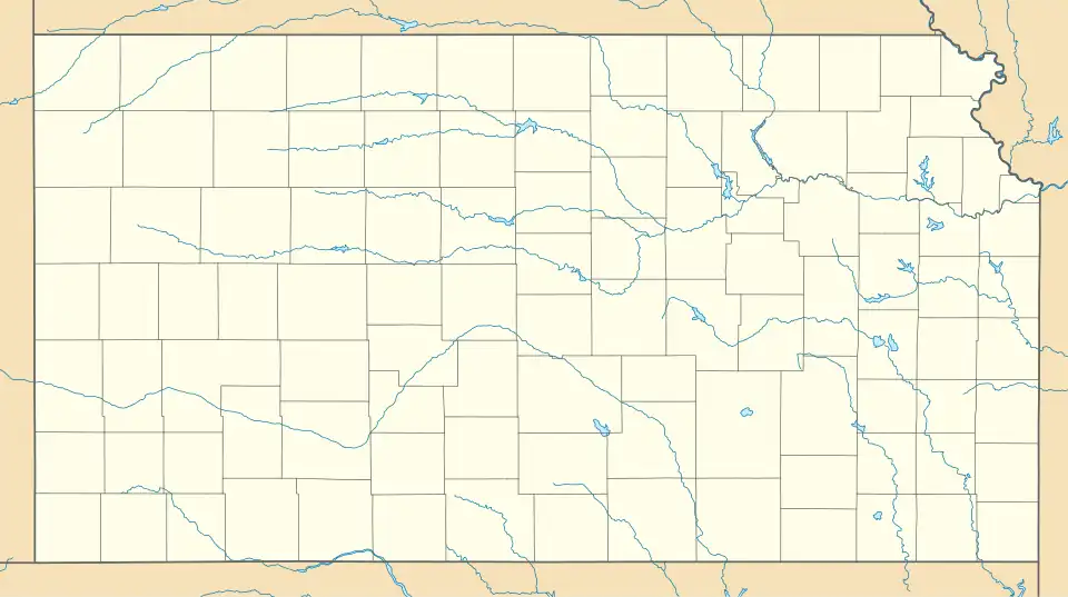
 KDOT map of Kingman County (legend) | |
 St. Leo  St. Leo | |
| Coordinates: 37°31′45″N 98°24′37″W / 37.52917°N 98.41028°W[1] | |
| Country | United States |
| State | Kansas |
| County | Kingman |
| Elevation | 1,759 ft (536 m) |
| Time zone | UTC-6 (CST) |
| • Summer (DST) | UTC-5 (CDT) |
| ZIP Code | 67112 |
| Area code | 620 |
| FIPS code | 20-62350 [1] |
| GNIS ID | 474281 [1] |
St. Leo is a rural unincorporated community in southwestern Kingman County, Kansas, United States.[1] It is located eight miles south of Cunningham (and U.S. Route 54) at the intersection of SW 160 Ave and SW 80 St; also it is located six miles north of Nashville.
History
St. Leo features a Catholic church and has an active parish community.
Geography
The statistics of St. Leo are as follows: elevation is 1759 feet, latitude is 37° 31′ 45″N, longitude is 98° 24′ 37″W.[1]
Education
The community is served by Cunningham–West Kingman County USD 332 public school district.
See also
References
Further reading
Municipalities and communities of Kingman County, Kansas, United States | ||
|---|---|---|
| Cities |  | |
| CDPs | ||
| Unincorporated communities |
| |
| Townships | ||