Singodari
Singodari | |
|---|---|
village | |
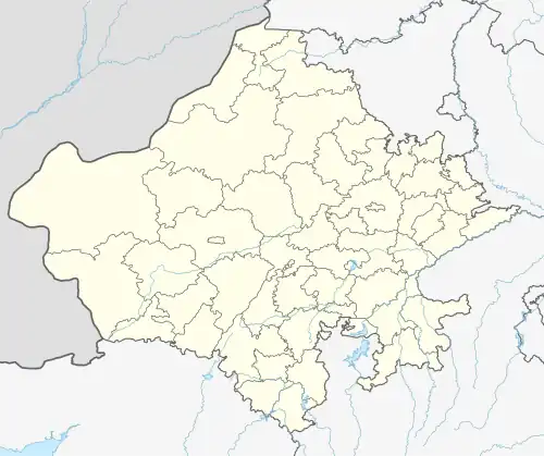 Singodari Location in Rajasthan, India  Singodari Singodari (India) | |
| Coordinates: 27°37′N 75°09′E / 27.62°N 75.15°E | |
| Country | |
| State | Rajasthan |
| District | Sikar |
| Government | |
| • Type | Sarpanch |
| • Body | Panchayat |
| Area | |
• Total | 269.57 ha (666.12 acres) |
| Population (2011) | |
• Total | 588 |
| • Density | 220/km2 (560/sq mi) |
| Time zone | UTC+5.30 |
| PIN | 332311[1] |
| Village Code | 081358 |
| Sex Ratio | 1000/921 ♂/♀ |
| Website | sikar |
Singodari (सिंगोदडी) is a village in the Laxmangarh administrative region of Sikar district of Indian state Rajasthan.[2]
About Singodari
It is situated 5km away from sub-district headquarter Lachhmangarh (tehsildar office) and 33km away from district headquarter Sikar. As per 2009 stats, Singodara is the gram panchayat of Singodari village. According to Census 2011, the location code or village code of Singodari is 081358. The village spans a total geographical area of 269.57 hectares, and the pincode of the locality is 332311. Lachhmangarh is nearest town to Singodari village for all major economic activities, which is approximately 5km away.
Population
588 (Males: 306, Females: 282) (As per Census-2011)[3]
Nearest villages
See also
References
- ^ "Pin Code 332311 and Post Offices under 332311 Postal Code". www.mapsofindia.com. Retrieved 24 May 2021.
- ^ "Bhārata Kī Janagaṇanā, 1981, Rājasthāna. Śr̥ṅkhalā 18". Retrieved 18 May 2017.
- ^ "Census 2011 data". Census of India. Archived from the original on 24 May 2017. Retrieved 24 April 2020.