Shwenyaung
Shwenyaung
ရွှေညောင် | |
|---|---|
Town | |
 | |
 Shwenyaung Location of Shwenyaung, Myanmar | |
| Coordinates: 20°45′N 96°56′E / 20.750°N 96.933°E | |
| Country | |
| State | |
| District | Taunggyi District |
| Township | Taunggyi Township |
| Area | |
• Total | 11.68 sq mi (30.3 km2) |
| Population (2023)[1] | 37,882 |
| Time zone | UTC+6.30 (MMT) |
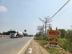
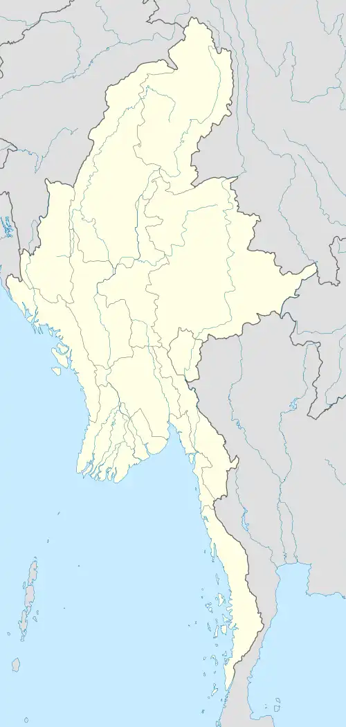
Shwe Nyaung is a town located in southern Shan state of Myanmar. The town is near the Shan state capital Taunggyi and about 7 miles north of Nyaungshwe. It lies at the intersection of National Highway 47 and National Highway 43 connecting Taunggyi and Nyaungshwe with Aungban and Nawnghkio. In 2023 it had a population of 37,882 people. The town is divided into 11 urban wards with the most populated being Aung Thabyay with 6,871 people.[1]
It was historically the western the terminus of the Shwenyaung–Mongnai Railway connecting south and eastern Shan State to the capital Taunggyi. Shwenyaung serves as a transport hub sitting 1,600 feet (490 m) lower in elevation from Taunggyi. In 1997, the Shwenyaung to Taunggyi portion was finally completed using zig zag railways.[2]
The town is located on the Taryaw stream, which flooded parts of the town in June 2025.[3]
References
- ^ a b Myanmar Information Management Unit (March 2023). Taunggyi Myone Daethasaingyarachatlatmya တောင်ကြီးမြို့နယ် ဒေသဆိုင်ရာအချက်လက်များ [Taunggyi Township Regional Information] (PDF) (Report) (in Burmese). pp. 10, 18, 30. Retrieved 7 August 2025.
- ^ "Railway lines in Eastern Myanmar Shwenyaung – Kyaing Tong (Kengtung) (E24)". Retrieved 7 August 2025.
- ^ "ချောင်းရေဝင်ရောက်မှုဖြစ်ပေါ်ခဲ့သည့် ရွှေညောင်မြို့ပေါ်ရပ်ကွက်များ၌ ကူညီကယ်ဆယ်ရေးလုပ်ငန်းများဆောင်ရွက်" [Aid carried out in Shwenyaung town wards affected by inundation from stream]. Myawaddy. 13 June 2025.