Sherwood, Durban
Sherwood | |
|---|---|
 Sherwood 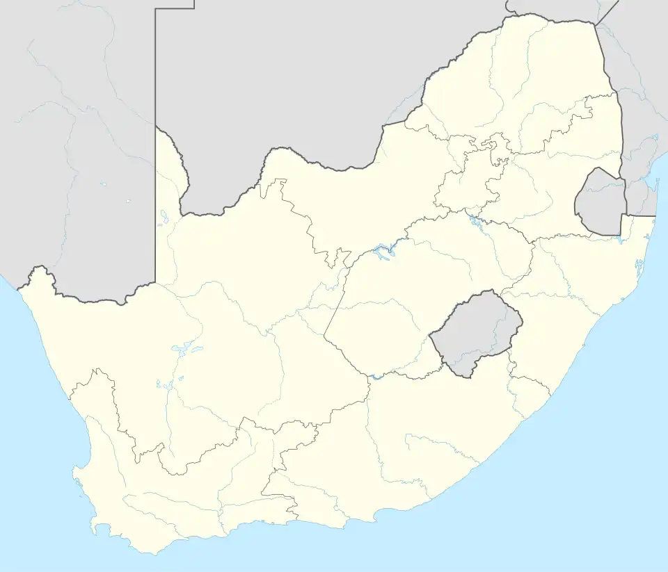 Sherwood | |
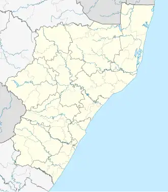
| Coordinates: 29°50′05″S 30°58′03″E / 29.8348°S 30.9674°E | |
| Country | South Africa |
| Province | KwaZulu-Natal |
| Municipality | eThekwini |
| Main Place | Durban |
| Area | |
• Total | 2.87 km2 (1.11 sq mi) |
| Population (2011)[1] | |
• Total | 7,102 |
| • Density | 2,500/km2 (6,400/sq mi) |
| Racial makeup (2011) | |
| • Black African | 36.3% |
| • Coloured | 9.0% |
| • Indian/Asian | 44.4% |
| • White | 9.4% |
| • Other | 0.9% |
| First languages (2011) | |
| • Zulu | 26.1% |
| • Xhosa | 4.3% |
| • English | 64.1% |
| • Afrikaans | 1.8% |
| • Other | 3.7% |
| Time zone | UTC+2 (SAST) |
| Postal code (street) | 4091 |
| PO box | 6034 |
| Area code | 031 |
Sherwood is a suburb of Durban in KwaZulu-Natal, South Africa, approximately 6 kilometres (3.7 mi) north-west of the city centre.
Geography
Sherwood is situated towards the north-western boundary of Durban with Westville, and borders on Clare Hills to the north, Sparks to the east, Bonela to the south and Westville to the west.
Safety
In terms of policing, Sherwood is covered by the policing precinct of Sydenham SAPS (located on the border between Sherwood and Sparks).[2][3]
Transport
Sherwood is situated along the M13 (King Cetshwayo Highway) connecting the Durban CBD to the south-east with Westville to the west. The M15 (Locksley Drive; Moses Kotane Road) from Overport to the west terminates at the intersection with the M13 in Sherwood.
References
- ^ a b c d "Sub Place Sherwood". Census 2011.
- ^ "Services | SAPS (South African Police Service)". www.saps.gov.za. Retrieved 2 March 2025.
- ^ "Crime Statisticts by Police Precinct in South Africa". www.crimestatssa.com. Retrieved 2 March 2025.
.svg.png)