Segalstad bru
Segalstad bru | |
|---|---|
Village | |
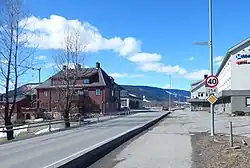 View of the village | |
 Segalstad bru 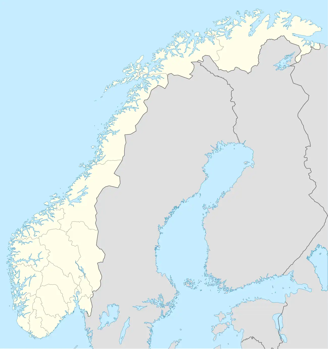 Segalstad bru | |
| Coordinates: 61°13′42″N 10°13′21″E / 61.2282°N 10.22261°E | |
| Country | Norway |
| Region | Eastern Norway |
| County | Innlandet |
| District | Gudbrandsdal |
| Municipality | Gausdal Municipality |
| Area | |
• Total | 1.36 km2 (0.53 sq mi) |
| Elevation | 232 m (761 ft) |
| Population (2024)[1] | |
• Total | 1,062 |
| • Density | 781/km2 (2,020/sq mi) |
| Time zone | UTC+01:00 (CET) |
| • Summer (DST) | UTC+02:00 (CEST) |
| Post Code | 2651 Østre Gausdal |
Segalstad bru[3] (lit. 'Segalstad bridge') is the administrative centre of Gausdal Municipality in Innlandet county, Norway. The village sits along the north side of the river Jøra, about 3 kilometres (1.9 mi) to the northwest of the village of Follebu and about 5 kilometres (3.1 mi) to the northeast of the village of Forset.[4]
The 1.36-square-kilometre (340-acre) village has a population (2024) of 1,062 and a population density of 781 inhabitants per square kilometre (2,020/sq mi).[1]
The village is located at the crossroads between the old Østre Gausdal Municipality and Vestre Gausdal Municipality. The village is named Segalstad bru which literally translates to Segalstad bridge. The village got its name from the actual bridge which links the two parts of the municipality on either side of the river.
Economy
A number of business and shops are located at Segalstad bru, the most significant of which is the timber company, Gausdal Bruk. Moreover, Segalstad bru is home to Fjerndum primary school, Gausdal Secondary school, the municipal administration building, and some sports facilities.[4]
There is a large dairy just outside of Segalstad bru which is one of Norway's biggest producers of brunost, a type of Norwegian goat cheese. The dairy is part of the Q-Meieriene company in 2000.[5]
History
On 26-27 April 1940, during Operation Weserübung during World War II, Segalstad bru was the site of a major battle in which several men lost their lives.[4]
References
- ^ a b c Statistisk sentralbyrå (1 October 2024). "Urban settlements. Population and area, by municipality".
- ^ "Segalstad bru, Gausdal". yr.no. Retrieved 22 July 2022.
- ^ "Informasjon om stadnamn". Norgeskart (in Norwegian). Kartverket. Retrieved 29 July 2025.
- ^ a b c Thorsnæs, Geir, ed. (25 November 2024). "Segalstad bru". Store norske leksikon (in Norwegian). Foreningen Store norske leksikon. Retrieved 29 July 2025.
- ^ "Historien om Q" (in Norwegian). Q-Meieriene.