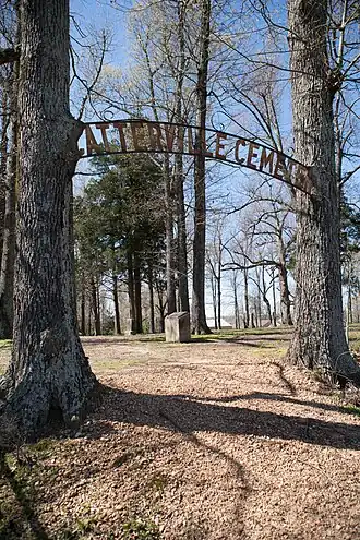
Scatterville Cemetery
Scatterville Cemetery | |
 | |
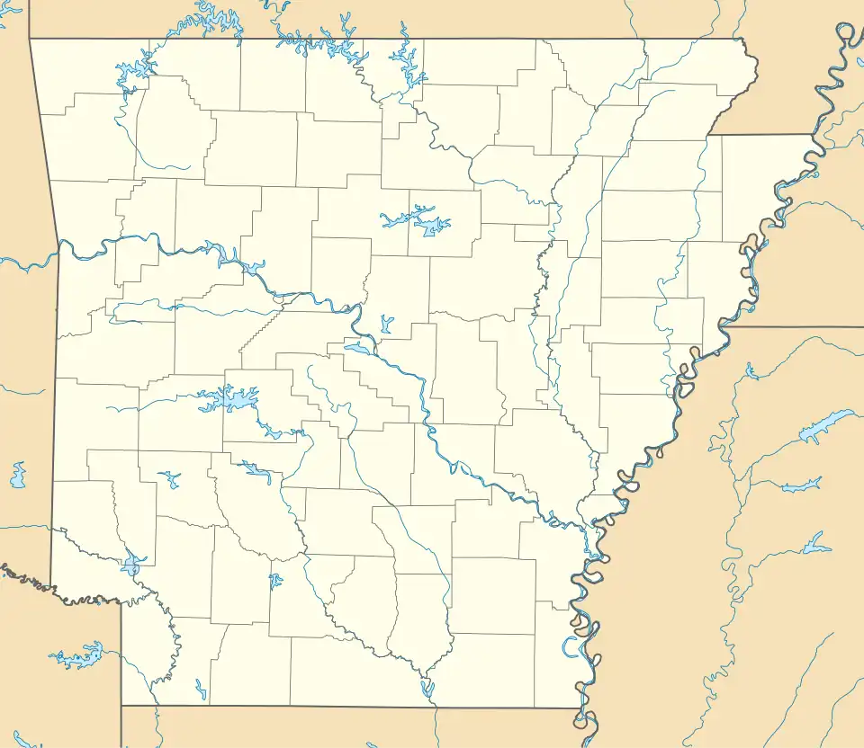 Location in Arkansas  Location in United States | |
| Nearest city | Rector, Arkansas |
|---|---|
| Coordinates | 36°16′56″N 90°18′47″W / 36.28209°N 90.31307°W |
| Area | 2 acres (0.81 ha) |
| NRHP reference No. | 95000364[1] |
| Added to NRHP | March 31, 1995 |
The Scatterville Cemetery is a historic cemetery in rural Clay County, Arkansas. It covers 2 acres (0.81 hectares) and is situated approximately 2 miles (3.2 km) northwest of Rector. The cemetery contains thirty marked graves, though records suggest there may be at least 52. The earliest burial dates back to 1857, with most burials occurring in the 1870s. The cemetery is the only remaining part of the Scatterville community, an antebellum community bypassed by the railroad, whose inhabitants likely relocated to Rector.[2]
The cemetery was listed on the National Register of Historic Places in 1995.[1]
See also
References
- ^ a b "National Register Information System". National Register of Historic Places. National Park Service. November 2, 2013.
- ^ "NRHP nomination for Scatterville Cemetery". Arkansas Preservation. Retrieved December 25, 2014.
External links
| Topics | |
|---|---|
| Lists by state |
|
| Lists by insular areas | |
| Lists by associated state | |
| Other areas | |
| Lists of specific structure types | |
| Related | |