Santa Elena, Spain
Santa Elena | |
|---|---|
.jpg) | |
.svg.png) Flag .svg.png) Coat of arms | |
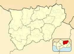 Santa Elena, Spain Location in the Province of Jaén 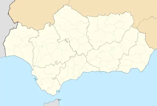 Santa Elena, Spain Santa Elena, Spain (Andalusia) 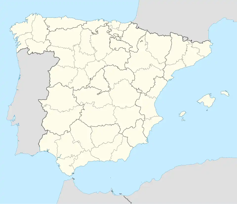 Santa Elena, Spain Santa Elena, Spain (Spain) | |
| Coordinates: 38°20′N 3°32′W / 38.333°N 3.533°W | |
| Country | |
| Autonomous community | |
| Province | |
| Comarca | Sierra Morena |
| Area | |
• Total | 144 km2 (56 sq mi) |
| Elevation | 742 m (2,434 ft) |
| Population (2018)[1] | |
• Total | 913 |
| • Density | 6.3/km2 (16/sq mi) |
| Time zone | UTC+1 (CET) |
| • Summer (DST) | UTC+2 (CEST) |
| Postal code | 23213 |
Santa Elena is a municipality in the province of Jaén, in the community autonomous of Andalusia, Spain. It is where the Battle of Las Navas de Tolosa took place in 1212. According to the 2024 census,[2] the municipality has a population of 866 inhabitants.
See also
References
- ^ Municipal Register of Spain 2018. National Statistics Institute.
- ^ Instituto Nacional de Estadística (INE)
External links
 Media related to Santa Elena (Jaén) at Wikimedia Commons