Sandy River Reservoir
| Sandy River Reservoir | |
|---|---|
 Sandy River Reservoir | |
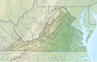
| Location | Prince Edward County, Virginia |
| Coordinates | 37°14′29″N 78°18′54″W / 37.2415°N 78.3149°W |
| Type | Reservoir |
| River sources | Sandy River |
| Basin countries | United States |
| Managing agency | Virginia Department of Game and Inland Fisheries |
| Built | 1994 |
| Surface area | 740 acres (300 ha) |
| Max. depth | 30 feet (9.1 m) |
| Shore length1 | 21.25 miles (34.20 km) |
| Surface elevation | 960 feet (290 m) |
| Settlements | Farmville, Virginia |
| Website | Virginia DWR |
| Location | |
| 1 Shore length is not a well-defined measure. | |
Sandy River Reservoir is a 740-acre (300 ha) water supply reservoir located slightly east of the town of Farmville (and South of Rice) in Prince Edward County.[1] The Sandy River Reservoir is one of the newest lakes in Virginia with construction completed in 1994 and fishing opened in 1996.[2] The reservoir was built in and is owned by the county of Prince Edward with fisheries management responsibilities belonging to the Virginia Department of Game and Inland Fisheries.
References
- ^ "Sandy River Reservoir / Hicks Lake Fishing Map | Nautical Charts App". www.gpsnauticalcharts.com. Retrieved 20 July 2025.
- ^ "Sandy River Reservoir". dwr.virginia.gov. Retrieved 20 July 2025.
External links