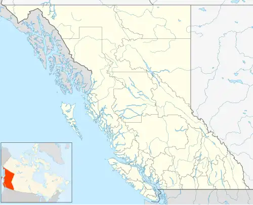
Rose Prairie
Rose Prairie | |
|---|---|
Unincorporated Municipality | |
 Rose Prairie  Rose Prairie | |
| Coordinates: 56°30′29″N 120°47′38″W / 56.508°N 120.794°W | |
| Population | |
• Total | 50[1] |
| Postal code | V0C 2H0[2] |
| Area code | 250 |
Rose Prairie is an settlement in British Columbia. It is located 30 km (19 mi) north of Fort St. John, British Columbia.[1]
History
Rose Prairie was first settled c. 1940.[1] In 1950 the Chinchaga Fire started in Rose Prairie. It was and still is the single largest recorded wildfire in North American history.
On January 13, 2023 at night, the church in Rose Prairie known as Upper Pine Gospel Chapel or UPGC, burned down.[3]
References
- ^ a b c Scott 2000, p. 612.
- ^ Ricky 2009, p. 337.
- ^ Foster, Shailynn (November 1, 2023). "Upper Pine church burns down in friday morning fire". Energetic city. Retrieved November 1, 2023.
Sources
- Ricky, Donald (2009). Native Peoples A to Z: A Reference Guide to Native Peoples of the Western Hemisphere. Native American Book Publishers. ISBN 978-1-878592-73-6.
- Scott, Andrew (2000). Francis, Daniel (ed.). Encyclopedia of British Columbia (1st ed.). Madeira Park, British Columbia, Canada: Harbour Publishing. ISBN 978-1-55017-200-3.