Roche Faurio
| Roche Faurio | |
|---|---|
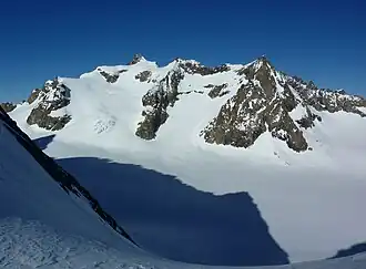 Roche Faurio on the left | |
| Highest point | |
| Elevation | 3,730 m (12,240 ft) |
| Listing | Alpine mountains above 3000 m |
| Coordinates | 44°56′30″N 6°21′26″E / 44.94167°N 6.35722°E |
| Geography | |
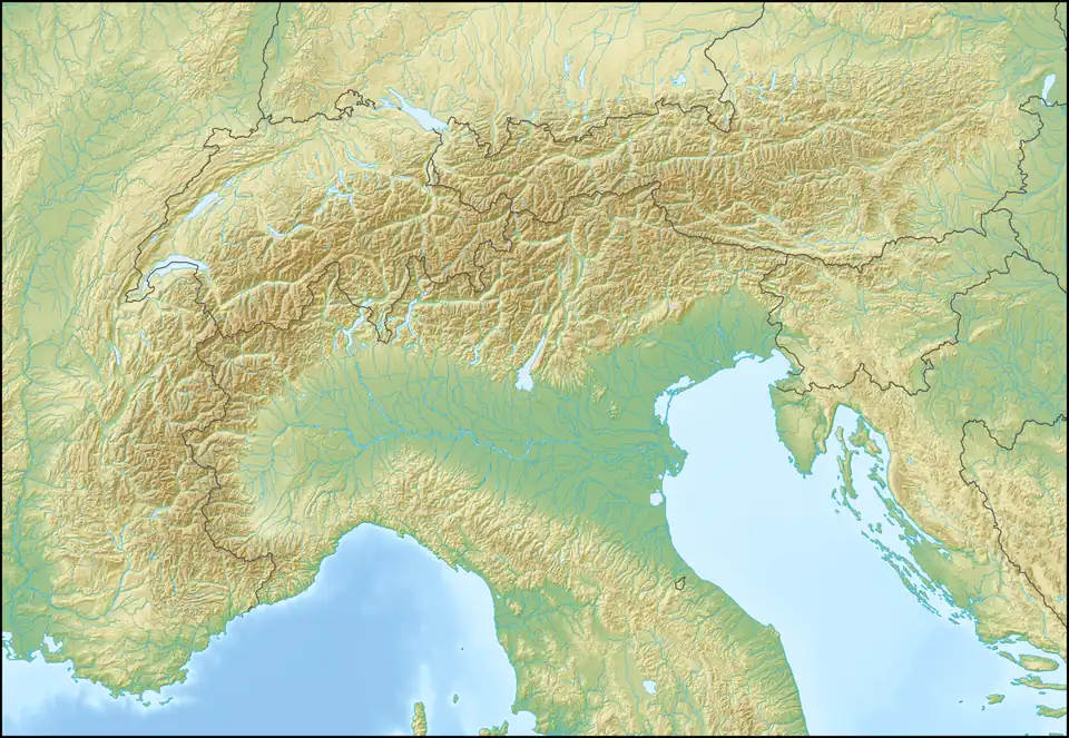 Roche Faurio Location in the Alps | |
| Location | Isère, France |
| Parent range | Dauphiné Alps |
| Climbing | |
| First ascent | 1873 |
Roche Faurio is a mountain in the French Alps with a peak elevation of 3,730 metres (12,240 ft). It is part of the Massif des Écrins in the Dauphiné Alps in Isère, France
It lies in front of the north face of the Barre des Écrins adjacent to the Glacier Blanc. The mountain lies inside Écrins National Park. It is a popular summit with hikers, taking about four hours to climb from the Écrins Hut, and ski mountaineers.[1]
References
- ^ "Roche Faurio - summitpost". summitpost.org. Retrieved 9 February 2015.