Ringlet, Malaysia
Ringlet | |
|---|---|
Settlement of Cameron Highlands | |
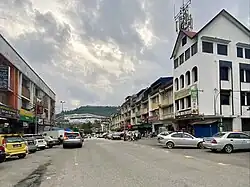 The main street (Federal Route 59) that traverses Ringlet. | |
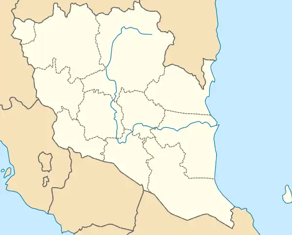
Location in Malaysia | |
| Coordinates: 4°24′49.03″N 101°23′01.46″E / 4.4136194°N 101.3837389°E | |
| Country | Malaysia |
| State | Pahang |
| District | Cameron Highlands District |
| Government | |
| • Type | District council |
| • Body | Cameron Highlands District Council |
| Population (2014[1]) | |
• Total | 11,575 |
| Time zone | UTC+8 (MST) |
| Postal code | 39xxx |
| Area code(s) | 06-5xxxxxxx |
| Vehicle registration | C |

Ringlet is the southernmost town of the Cameron Highlands, Pahang, Malaysia. It is situated close to the state border with Perak.
Geography
Situated at an altitude of 1,135 metres above sea level (3,723 ft), Ringlet is a hub of Malaysia's vegetable farming and international flower farming sector. The town contains some other small villages such as Bertam Valley, Boh and Habu Height.
Infrastructure
Education
SJK (T) Ringlet, SJK (C) Cameron, SJK (C) Bertam Valley and SMK Ringlet are some of the educational institutions that are located near Ringlet.
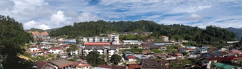
The township of Ringlet, Malaysia (c. 2012)
Transportation
By road
Ringlet is served by Federal Routes ![]() FT 59 and
FT 59 and ![]() FT 102, respectively linking the town to Tapah in the south, as well as the rest of Cameron Highlands, and Kuala Lipis in the east.
FT 102, respectively linking the town to Tapah in the south, as well as the rest of Cameron Highlands, and Kuala Lipis in the east.
References
- ^ Census Population Information in Cameron Highlands District