Ramsvik, Vestland
Ramsvik | |
|---|---|
Hamlet | |
 Ramsvik Location of the hamlet 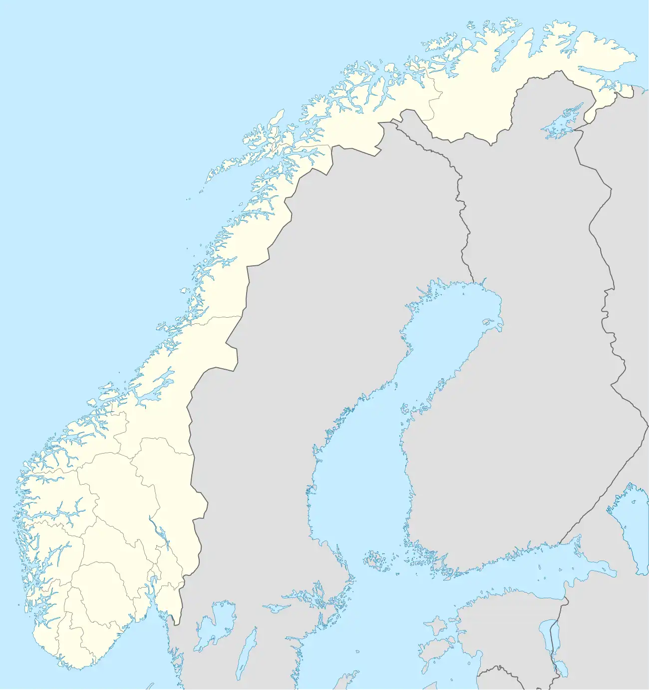 Ramsvik Ramsvik (Norway) | |
| Coordinates: 61°02′35″N 7°02′27″E / 61.0431°N 7.0407°E | |
| Country | Norway |
| Region | Western Norway |
| County | Vestland |
| District | Sogn |
| Municipality | Aurland Municipality |
| Elevation | 11 m (36 ft) |
| Population | |
• Total | 14 |
| Time zone | UTC+01:00 (CET) |
| • Summer (DST) | UTC+02:00 (CEST) |
Ramsvik is a dispersed settlement in Aurland Municipality in Vestland County, Norway.[2] It is located near to the UNESCO-listed Nærøyfjord and Aurlandsfjord and opposite the Fysseneset Waterfall.[3][4] The area is mountainous, with steep terrain rising from sea level to elevated summits.[5][6]
The settlement is located approximately 23 km (14 mi) from Flåm, and 98 km (61 mi) east of Bergen.[7]
Etymology
The name Ramsvik (Old Norse: Ramrsvík) derives from Old Norse and dates back several hundred years ago. The first element of the word, "rams" originates from the Old Norse "ramr", meaning "strong" or rams (genitive singular: "of the strong").[8] The second-half of the name "vik" translates to "cove" in Old Norse, so the name Ramsvik likely means "cove of the strong" or "strong cove".[9]
History
The history of the village is believed to date back to the Vikings in 10th century.[10]
According to local legend, a group of fishermen found an abundance of fish in the waters next to Ramsvik, and decided to set up a settlement there to collect a larger yield. An estimated 25 people once lived in the village, but many migrated to other villages such as Njardarheimr in Gudvangen and Undredal.[11]
Geography
Ramsvik is located on the UNESCO-listed Aurlandsfjord within the larger Sognefjord.[12] The village lies between steep mountain slopes and the fjord shoreline. The surrounding area is typical of Western Norway, featuring a mixture of rocky outcrops, woodland, and scattered pasture.[3]
Population
Since the Industrial Revolution, the population of Ramsvik has declined significantly. A likely cause of this is rural-urban migration, and Ramsvik's poor connectivity to neighbouring villages, being only accessible by boat or foot, instead of the E16 road like other villages.[13] Currently, only 14 people live in Ramsvik.[14]
Tourism
Whilst Ramsvik is small compared to its neighbouring villages, several local hiking paths pass near the settlement, offering popular views of the fjord and the Fysseneset Waterfall.[4][15]
References
- ^ "Bakka, Aurland (Vestland)". yr.no. Archived from the original on 2020-01-25. Retrieved 2020-01-25.
- ^ Olsen, Karl (2007). Nærøyfjord and its surroundings. Oslo. p. 89.
{{cite book}}: CS1 maint: location missing publisher (link) - ^ a b Nyo, Samuel (2025-07-28). "Try Gudvangen's Fjords for your next Norwegian Adventure". The Hidden Trail. Retrieved 2025-07-28.
- ^ a b "Fysseneset Waterfall".
- ^ "The Naeroyfjord in Norway". www.fjordtours.com. Retrieved 2025-06-29.
- ^ Centre, UNESCO World Heritage. "West Norwegian Fjords – Geirangerfjord and Nærøyfjord". UNESCO World Heritage Centre. Retrieved 2025-06-29.
- ^ "Google Earth Ramsvik, Nærøyfjord". earth.google.com. Retrieved 2025-06-29.
- ^ "Old Norse Dictionary - Ramr". Cleasby & Vigfusson - Old Norse Dictionary. Retrieved 2025-07-02.
- ^ "Old Norwegian Dictionary - Vík". Old Norwegian Dictionary. Retrieved 2025-07-02.
- ^ Norgard, Christian (2015). Viking Norway. Oslo, Norway. pp. 27, 28.
{{cite book}}: CS1 maint: location missing publisher (link) - ^ "The modern Vikings". www.visitnorway.com. Retrieved 2025-07-02.
- ^ "Visit Sognefjord". en.sognefjord.no. Retrieved 2025-08-03.
- ^ Emma (2022-06-01). "Drive it Yourself: Flåm to Bergen on the E16". The Hidden North. Retrieved 2025-07-02.
- ^ "Population". SSB. Retrieved 2025-07-02.
- ^ Cooper, Nigel (7 February 2021). Europe's Greatest Waterfalls (2nd ed.). Liverpool. pp. 34–40.
{{cite book}}: CS1 maint: location missing publisher (link)