Raja Ka Tajpur
Raja Ka Tajpur | |
|---|---|
Municipality | |
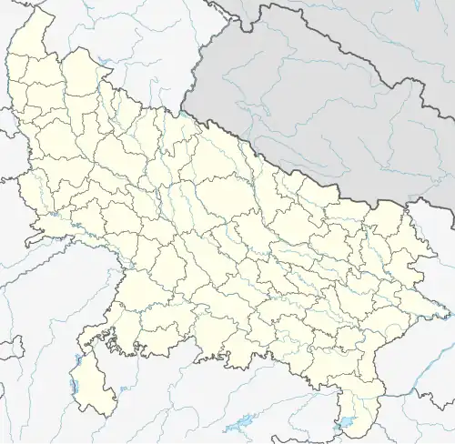 Raja Ka Tajpur Location in Uttar Pradesh, India | |
| Coordinates: 29°13′N 78°35′E / 29.22°N 78.58°E | |
| Country | |
| State | Uttar Pradesh |
| District | Bijnor |
| Elevation | 211 m (692 ft) |
| Population (2020) | |
• Total | 51,653 |
| Languages | |
| • Official | Hindi |
| Time zone | UTC+5:30 (IST) |
| PIN | 246735 |
| Telephone code | 01344 |
| Vehicle registration | UP 20 |
Raja Ka Tajpur is a city and a municipal board in Bijnor district in the Indian state of Uttar Pradesh.
Geography
Tajpur is located at 29°13′N 78°35′E / 29.22°N 78.58°E.[1] It has an average elevation of 211 metres (692 feet).
Religious places
Sacred Heart Church, Tajpur[2]