Raipur Nangli
Raipur Nangli | |
|---|---|
village | |
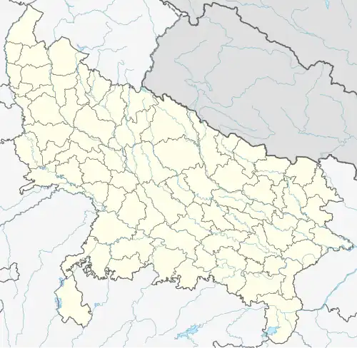 Raipur Nangli Location in Uttar Pradesh, India  Raipur Nangli Raipur Nangli (India) | |
| Coordinates: 29°16′34″N 77°43′52″E / 29.276°N 77.731°E | |
| Country | India |
| State | Uttar Pradesh |
| District | Muzaffarnagar |
| Languages | |
| • Official | Hindi |
| Time zone | UTC+5:30 (IST) |
Raipur Nangli is a village in Khatauli tehsil, Muzaffarnagar district, Uttar Pradesh state in India.[1] It belongs to Saharanpur division, and is located 25 kilometres (16 mi) south of district headquarters Muzaffarnagar and 485 kilometres (301 mi) from the state capital Lucknow. Nearby towns and cities include Sardhana, Hastinapur and Meerut.
The village is on the border of the Muzaffarnagar and Meerut districts.
References
- ^ "Primary Census Abstract Data Tables – India: Final Population Totals". Office of the Registrar General & Census Commissioner, India. Ministry of Home Affairs, Government of India. 2011. Archived from the original on 11 July 2022. Retrieved 27 April 2025.