Portola, San Francisco
Portola | |
|---|---|
.jpg) | |
| Nickname: Garden District | |
 Portola Location within San Francisco 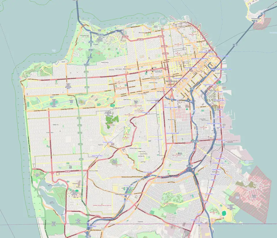 Portola Portola (San Francisco County)  Portola Portola (San Francisco Bay Area) | |
| Coordinates: 37°43′39″N 122°24′24″W / 37.72740°N 122.40653°W | |
| State | California |
| City | San Francisco |
| Government | |
| • Supervisor | Jackie Felder |
| • CA Assembly | Matt Haney (D)[1] |
| • State Senator | Scott Wiener (D)[1] |
| • U.S. Rep. | Kevin Mullin (D)[2] |
| Area | |
• Total | 1.582 sq mi (4.10 km2) |
| Population (2022) | |
• Total | 16,410 |
| • Density | 16,500/sq mi (6,400/km2) |
| Time zone | UTC-8 (PST) |
| • Summer (DST) | UTC-7 (PDT) |
| ZIP Code | 94134 |
| Area codes | 415/628 |
Portola (Por-to-la, also known as Portola District) is a neighborhood located in the southeastern quadrant of San Francisco, California.
Portola[3] is a neighborhood in the southeastern part of San Francisco, northeast of McLaren Park. It is roughly bordered by San Bruno Avenue and the James Lick Freeway (U.S. Route 101) to the east, Mansell Street to the south, University Street to the west and the Southern Freeway (Interstate 280) to the north. The adjacent Portola Heights extension lies west uphill from University Street to the Excelsior District, bordering McLaren Park to the south.
Name
Portola (pronounced PORE-toe-luh, by denizens) was named after the old Portola School, which in turn was named after the Spanish explorer Gaspar de Portolà (credited by some as the discoverer of San Francisco Bay).
Characteristics
According to the U.S. Census, the Asian population in the Portola has been steadily increasing since the 1990s.[4] The Portola is marked by Census Tract 257.[5]
History
Originally settled after the 1906 earthquake by Jewish and Italian immigrants, the area evolved into a community populated by nurserymen and their families who grew much of the city's flower crop there and uphill to the west in the Portola Heights extension. "The Road", as San Bruno Avenue was affectionately referred to by the locals, still hosts businesses that include bakeries, grocery stores, pharmacies, and in earlier times the Avenue Theater, now a church. The Portola was also once home to a significant population of Maltese immigrants and settlers[3] and at one time the Maltese Consulate.
Demographics
According to the 2012 to 2016 census data gathered by the San Francisco Planning Dept.[6]
|
| ||||||||||||||||||||||||||||
|
|
Education
Elementary
- E.R. Taylor Elementary School
High school
- Philip and Sala Burton Academic School
Gallery
-
.jpg) Portola viewed from John McLaren Park
Portola viewed from John McLaren Park
References
- ^ a b "Statewide Database". UC Regents. Retrieved November 9, 2014.
- ^ "California's 15th Congressional District - Representatives & District Map". Civic Impulse, LLC.
- ^ a b Nolte, Carl (2009-06-09). "Portola district: the secret neighborhood". The San Francisco Chronicle.
- ^ American FactFinder Archived 2020-02-10 at archive.today. Factfinder.census.gov. Retrieved on 2014-05-10.
- ^ American FactFinder Archived 2020-02-10 at archive.today. Factfinder.census.gov. Retrieved on 2014-05-10.
- ^ San Francisco Neighborhoods Socio-Economic Profiles 2012-2016 San Francisco Planning. Jan 10, 2019
External links
- Visitacion Valley San Francisco Heritage
- Visitacion Valley TOD Project
- Visitacion Valley Community Development Corporation
- San Francisco Visitacion Valley
- Visitacion Valley Branch Library
- Visitacion Valley Facebook Fan's Page
| Downtown | .svg.png) | |
|---|---|---|
| North of Downtown | ||
| Outside Lands | ||
| Western Addition | ||
| Southern | ||
| See also | ||
| ||