Port de Cabús
| Port de Cabús | |
|---|---|
.JPG) End of the CG-4 road at Port de Cabús, 2010 | |
| Elevation | 2,328 m (7,638 ft)[1] |
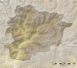
| Location | La Massana, Andorra Alins, Spain |
| Range | Pyrenees |
| Coordinates | 42°32′47″N 1°25′11″E / 42.54639°N 1.41972°E |
 Port de Cabús | |

Port de Cabús (also known as Coll de Cabús in Catalan) is a mountain pass in the Pyrenees on the Andorra–Spain border, located 2,328 metres (7,638 ft) above sea level.[1] It connects the Andorran parish of La Massana with the Spanish town of Alins in Catalonia.[2] The road through it is paved on the Andorran side (CG-4) but not the Spanish side.[3][4] The pass is typically open from May to October but may be closed due to poor weather, particularly in the winter.[1][2]
See also
References
- ^ a b c Reynolds, Kev (9 September 2010). The Pyrenees: The High Pyrenees from the Cirque de Lescun to the Carlit Massif. Cicerone Press Limited. p. 430. ISBN 978-1-84965-354-1. Retrieved 8 April 2025.
- ^ a b "Port de Cabús Cycling Climb". Cycle Fiesta. Retrieved 8 April 2025.
- ^ "CG-4". Motorcycle Diaries. Retrieved 8 April 2025.
- ^ Basora, Xavier; Romero, Jordi; Sabaté, Xavier (31 December 2005). "Muntanya de Tor" [Tor Mountain]. territori.scot.cat (in Catalan). Catalan Society for Territorial Planning. Archived from the original on 19 October 2021. Retrieved 20 July 2012.