Pleasant Township, Butler County, Kansas
Pleasant Township Butler County, Kansas | |
|---|---|
 Location within Butler County | |
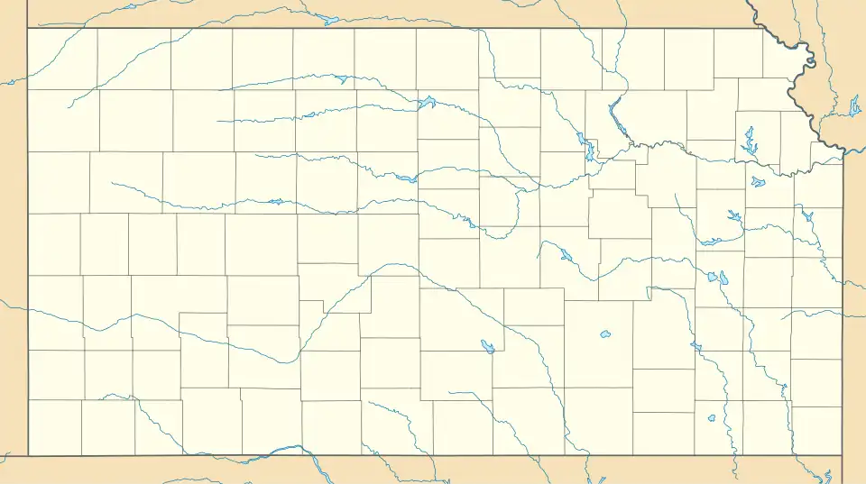 Pleasant Township Location within Kansas | |
| Coordinates: 37°36′25″N 97°5′56″W / 37.60694°N 97.09889°W[1] | |
| Country | United States |
| State | Kansas |
| County | Butler |
| Area | |
• Total | 36.1 sq mi (93.49 km2) |
| • Land | 36.06 sq mi (93.39 km2) |
| • Water | 0.04 sq mi (0.1 km2) 0.11% |
| Elevation | 1,329 ft (405 m) |
| Population (2000) | |
• Total | 4,649 |
| • Density | 130/sq mi (50/km2) |
| Time zone | UTC-6 (CST) |
| • Summer (DST) | UTC-5 (CDT) |
| FIPS code | 20-56200 [1] |
| GNIS ID | 474233 [1] |
| Website | County website |
Pleasant Township is a township in Butler County, Kansas, United States.[1] As of the 2000 census, its population was 4,649.
History
Pleasant Township was organized in 1873.[2]
Geography
Pleasant Township covers an area of 36.1 square miles (93 km2) and contains one incorporated settlement, Rose Hill. According to the USGS, it contains two cemeteries: Dunlap and Rose Hill.
Transportation
Pleasant Township contains three airports or landing strips: Flying H Ranch Airport, Graham Airport and Trabue Airport.
References
- ^ a b c d e "Pleasant Township, Butler County, Kansas", Geographic Names Information System, United States Geological Survey, United States Department of the Interior
- ^ Mooney, Vol. P. (1916). History of Butler County Kansas. Standard Publishing Company. pp. 180.
Further reading
External links
Municipalities and communities of Butler County, Kansas, United States | ||
|---|---|---|
| Cities | 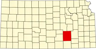 | |
| CDPs | ||
| Unincorporated communities | ||
| Ghost towns | ||
| Townships | ||