Phu Makhuea
| Phu Makhuea | |
|---|---|
| Phnom Trap | |
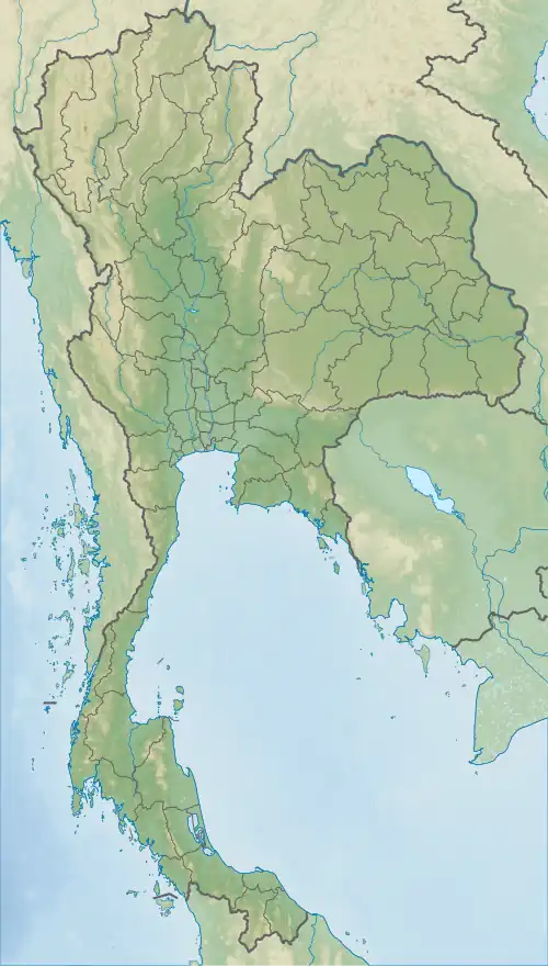 Phu Makhuea 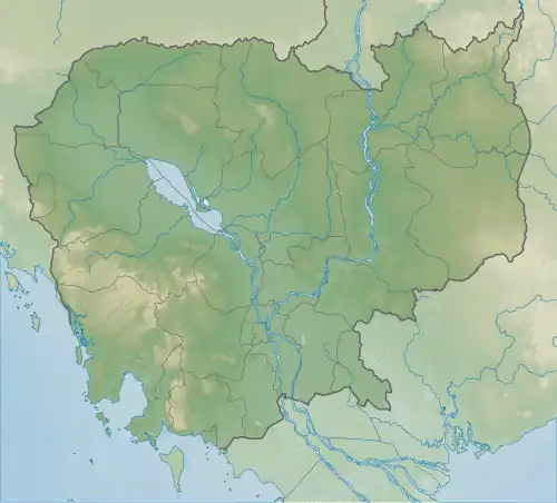 Phu Makhuea Phu Makhuea (Cambodia) | |
| Highest point | |
| Coordinates | 14°24′06″N 104°39′29″E / 14.401667°N 104.658056°E |
| Naming | |
| Native name | |
| Geography | |
| Location | Cambodia–Thailand border |
| Parent range | Dângrêk |
Phu Makhuea[a] (as it is known in Thai) or Phnom Trap (as it is known in Khmer) is a hill located on the Cambodia–Thailand border, near the Temple of Preah Vihear. The area is contested by both Thailand and Cambodia, and has been a major flashpoint in the 2008–2013 and 2025 border conflicts between the two countries.
During the 2008 conflict, a request for interpretation was submitted to the International Court of Justice, which ruled that its 1962 ruling which had awarded sovereignty over the temple to Cambodia did not extend to Phnom Trap, the dispute over which would need to be solved through bilateral means.[1][2] The hill saw extensive fighting after clashes erupted in the 2025 conflict.[3]
Notes
References
- ^ Muntarbhorn, Vitit (13 November 2013). "ICJ sets down Preah Vihear ground rules". Bangkok Post. Retrieved 31 July 2025.
- ^ "Partial victory at the ICJ". The Phnom Penh Post. 12 November 2013. Retrieved 31 July 2025.
- ^ "Thai troops secure Phu Ma Kua, raise the national flag after Cambodian assaults". nationthailand. 2025-07-26. Retrieved 2025-07-30.