Otterville, Iowa
Otterville, Iowa | |
|---|---|
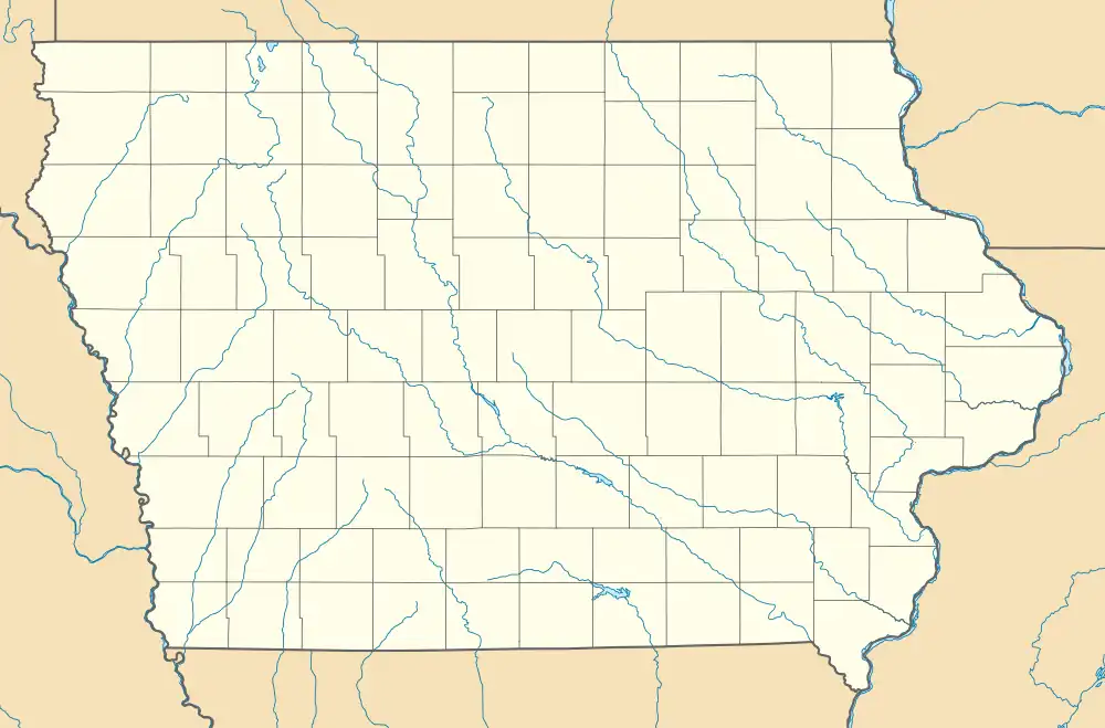 Otterville, Iowa Location within the state of Iowa  Otterville, Iowa Otterville, Iowa (the United States) | |
| Coordinates: 42°30′31″N 91°56′48″W / 42.50861°N 91.94667°W | |
| Country | United States |
| State | Iowa |
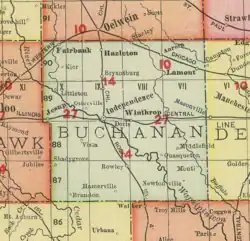
| County | Buchanan |
| Elevation | 922 ft (281 m) |
| Time zone | UTC-6 (Central (CST)) |
| • Summer (DST) | UTC-5 (CDT) |
| GNIS feature ID | 459950[1] |
Otterville is a small unincorporated community in Buchanan County, Iowa, United States, northwest of Independence.
Geography
Otterville lies in section 9 of Washington Township. It is at the junction of Otterville Blvd (County Highway D16) and Henley Avenue.[2]
History
Although the community was founded in the 19th century, the townsfolk never incorporated the community. Otterville remains a small community halfway between Independence and Littleton.[3]
Otterville's population was 94 in 1900,[4] and was 100 in 1925.[5] The population was 50 in 1940.[6]
See also
References
- ^ a b U.S. Geological Survey Geographic Names Information System: Otterville, Iowa
- ^ "Highway and Transportation Map - Buchanan County, Iowa". IowaDOT.gov. January 1, 2024. Retrieved August 20, 2025.
- ^ "Otterville, Iowa". mapquest. Retrieved May 14, 2011.
- ^ Cram's Modern Atlas: The New Unrivaled New Census Edition. J. R. Gray & Company. 1902. pp. 203–207.
- ^ Premier Atlas of the World: Containing Maps of All Countries of the World, with the Most Recent Boundary Decisions, and Maps of All the States, Territories, and Possessions of the United States with Population Figures from the Latest Official Census Reports, Also Data of Interest Concerning International and Domestic Political Questions. Rand McNally & Company. 1925. p. 190.
- ^ The Attorneys List. United States Fidelity and Guaranty Company, Attorney List Department. 1940. p. 308.
Municipalities and communities of Buchanan County, Iowa, United States | ||
|---|---|---|
| Cities |  | |
| Townships | ||
| Unincorporated communities | ||
| Ghost towns | ||
| Footnotes | ‡This populated place also has portions in an adjacent county or counties | |