Nutbourne, Chichester
| Nutbourne | |
|---|---|
 A 16th century cottage in Nutbourne | |
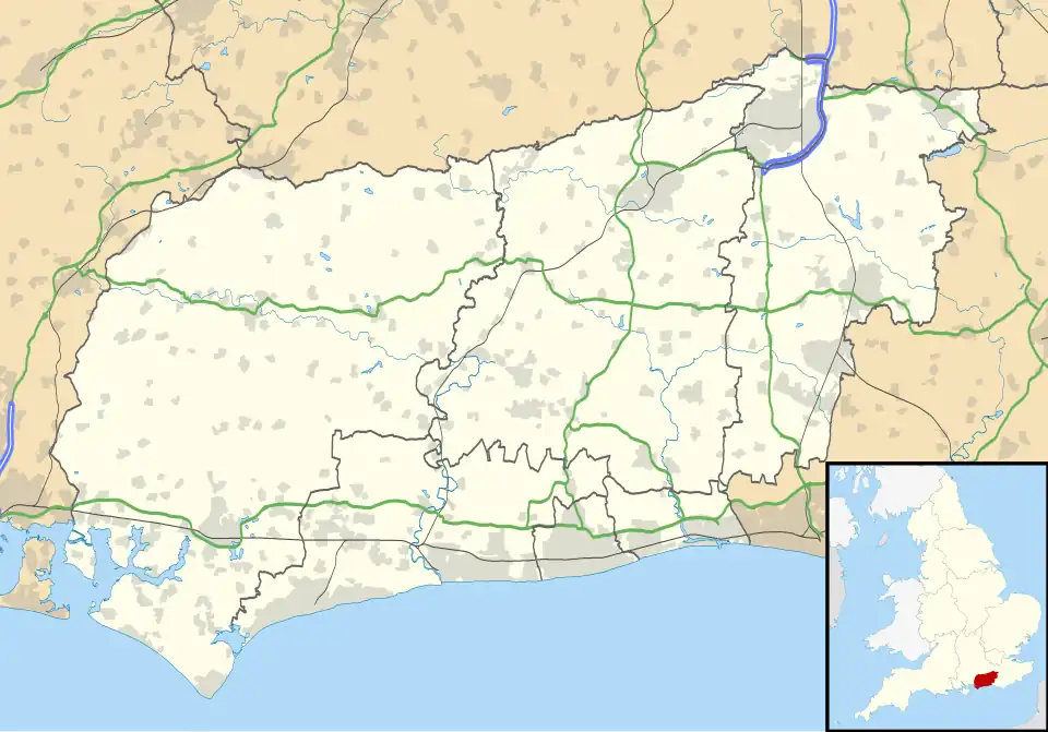 Nutbourne Location within West Sussex | |
| OS grid reference | SU788054 |
| Civil parish | |
| District | |
| Shire county | |
| Region | |
| Country | England |
| Sovereign state | United Kingdom |
| Post town | Chichester |
| Postcode district | PO18 |
| Police | Sussex |
| Fire | West Sussex |
| Ambulance | South East Coast |
| UK Parliament | |
Nutbourne is a village in the Chichester District of West Sussex, England located 2 miles (3.2 km) east of Emsworth on the A259 road.[1] It is in the civil parishes of Southbourne and Chidham and Hambrook.
This small village on the south side of the former A27 road, now the A259, has a loop of road running through it with a ford on the south side of the village centre. It lies at the northern tip of Thorney Channel, an inlet of Chichester Harbour.
History
Nutbourne was formed from a part of the area previously known as the Manor of Bourne. In 1256, the overlordship of Nutbourne Manor was assigned to Robert de Tateshall, and half a century later came under the ownership of Thomas de Cailli after the Tateshall estates were divided. It eventually passed into royal ownership.[2]
A 17th century Hearth Tax register listed Nutbourne as having twenty-four households in total.[3] By 1840, Nutbourne contained a number of allotments as well as a shop.[4] A tide mill was present in Nutbourne by the 19th century.[5]
In 1905, a Methodist chapel was opened in the village with the ability to seat 158 people. The chapel was closed in 1998.[6][7]
In 1996, The Bell and Anchor pub was closed and replaced by residential properties.[8] In 2025, plans to build additional homes in the village were deferred due to concerns around the capacity of the nearby Thornham Wastewater Treatment Works.[9]
Amenities
Nutbourne contains a café named Mamawu which opened in 2022.[10] The village also contains a Church of England named St. Wilfrid's.[11]
See also
References
- ^ "Google Maps".
- ^ Mee, John (1913). Bourne in the Past: Being a History of the Parish of Westbourne. Combridges.
- ^ "Nutborne Tything". Hearth Tax Digital. Retrieved 30 July 2025.
- ^ "1840 Westbourne Tithe Map". Westbourne History. Retrieved 30 July 2025.
- ^ "No 4 Nutbourne Tidal Mill (remains), Farm Lane, Nutbourne, PO10 8SA" (PDF). Southbourne Parish Council. September 2022. Retrieved 30 July 2025.
- ^ Thornborow, Philip (29 September 2023). "Nutbourne Bible Christian chapel". My United Methodists. Retrieved 30 July 2025.
- ^ "Three to view: church conversions". The Independent. 31 January 1998. p. 58. Retrieved 6 August 2025.
- ^ Hammond, Elaine (9 October 2024). "Archive photos reveal West Sussex village life in the past, including a lost pub and redundant church". Sussex Express. Retrieved 30 July 2025.
- ^ Dunn, Karen (8 May 2025). "Plans deferred for new homes in village". BBC News. Retrieved 30 July 2025.
- ^ Stack, Joe. "Exciting new eatery to open near Chichester". Sussex Express. Retrieved 30 July 2025.
- ^ Christian, Peter. "St Wilfrid, Nutbourne, Church of England". GENUKI. Retrieved 30 July 2025.
External links
![]() Media related to Nutbourne, Chichester at Wikimedia Commons
Media related to Nutbourne, Chichester at Wikimedia Commons