Novomykolaivka, Sumy Oblast
Novomykolaivka
Новомиколаївка | |
|---|---|
Village | |
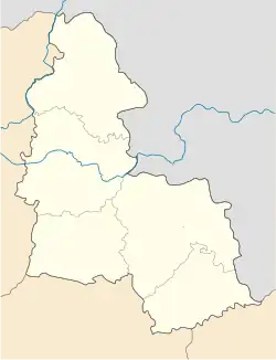 Novomykolaivka Location of Novomykolaivka 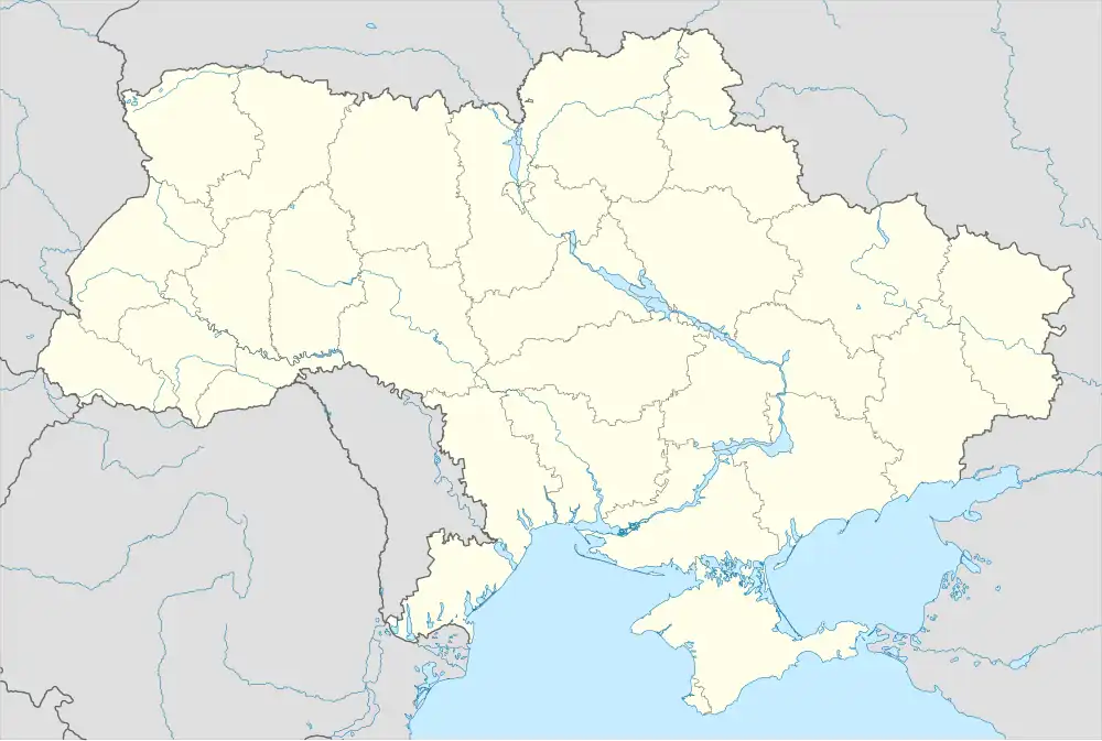 Novomykolaivka Novomykolaivka (Ukraine) | |
| Coordinates: 51°9′20″N 34°54′16″E / 51.15556°N 34.90444°E | |
| Country | |
| Oblast | Sumy Oblast |
| Raion | Sumy Raion |
| Hromada | Khotin settlement hromada |
| Elevation | 194 m (636 ft) |
| Population (2001)[2] | |
• Total | 136 |
| Time zone | UTC+2 |
| • Summer (DST) | UTC+3 |
| Postal code | 42316 |
| Area code | +380 542 |
Novomykolaivka is a village in Ukraine, in Khotin settlement hromada, Sumy Raion, Sumy Oblast. Until 2016, the local government body was Oleksiivka Village Council.
Geography
The village of Novomykolaivka is located at a distance of up to 2 km from the villages of Vodolahy, Volodymyrivka, Oleksiivka and the village of Varachyne. A drying stream with a dam flows through the village.
History
On June 12, 2020, in accordance with the Resolution of the Cabinet of Ministers of Ukraine No. 723-r "On the Determination of Administrative Centers and Approval of Territories of Territorial Communities of Sumy Region", it became part of the Khotin settlement hromada.[3]
On July 19, 2020, as a result of the administrative-territorial reform and liquidation of the Sumy Raion (1923—2020), the village became part of the newly formed Sumy Raion.[4]
On July 16, 2024, Russian troops shelled the village. 5 explosions were recorded, probably from a 120 mm mortar.[5]
Russian forces first entered the village on 4 July 2025.[6] Russian forces captured the village on the same day.[6] On 8 July 2025, Ukrainian forces launched counterattack on the settlement, recontesting the village.[7] The Russians recaptured the settlement of 19 July 2025.[8]
Demographics
According to the 2001 Ukrainian census, the village's population was 136 people.[2] The main languages of the village were:[9]
References
- ^ "Novomykolaivka (Sums'kyi district)". weather.in.ua. Retrieved 13 August 2025.
- ^ a b "Table: 19A0501_07_059. Number of actual population in rural areas, Sumska oblast (1,2,3,4)". Retrieved 13 August 2025.
- ^ "Кабінет Міністрів України - Про визначення адміністративних центрів та затвердження територій територіальних громад Сумської області". www.kmu.gov.ua (in Ukrainian). Archived from the original on 25 October 2021. Retrieved 2025-08-13.
- ^ "Постанова Верховної Ради України від" (in Ukrainian). 2020-07-17. Retrieved 2025-08-13.
- ^ "Подробиці вчорашніх обстрілів Сумщини від військових: пошкоджено критичну інфраструктуру і ЛЕП". debaty.sumy.ua (in Ukrainian). 2024-07-16. Retrieved 2025-08-13.
- ^ a b "Institute for the Study of War". Institute for the Study of War. 2025-07-04. Retrieved 2025-08-13.
- ^ "Institute for the Study of War". Institute for the Study of War. 2025-07-08. Retrieved 2025-08-13.
- ^ "Institute for the Study of War". Institute for the Study of War. 2025-07-18. Retrieved 2025-08-13.
- ^ "Table: 19A0501_07_059. Number of actual population in rural areas, Sumska oblast (1,2,3,4)". Retrieved 13 August 2025.