Nolan, West Virginia
Nolan, West Virginia | |
|---|---|
 Nolan, West Virginia  Nolan, West Virginia | |
| Coordinates: 37°44′23″N 82°19′53″W / 37.73972°N 82.33139°W | |
| Country | United States |
| State | West Virginia |
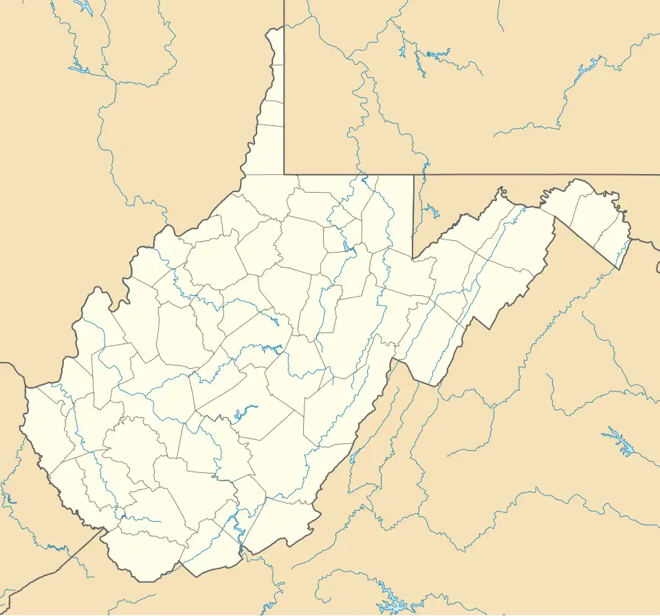
| County | Mingo |
| Elevation | 650 ft (200 m) |
| Time zone | UTC-5 (Eastern (EST)) |
| • Summer (DST) | UTC-4 (EDT) |
| Area codes | 304 & 681 |
| GNIS feature ID | 1544188[1] |
Nolan is an unincorporated community in Mingo County, West Virginia, United States. Nolan is located on the Tug Fork along U.S. Routes 52 and 119, 5.5 miles (8.9 km) northwest of Williamson.
The community, now considered a street community within Williamson, was devasted by the Tug Fork flooding of 1977.
References
Municipalities and communities of Mingo County, West Virginia, United States | ||
|---|---|---|
| City |  | |
| Towns | ||
| CDPs | ||
| Other communities |
| |
| Footnotes | ‡This populated place also has portions in an adjacent county or counties | |