Neemrana
Neemrana | |
|---|---|
 Neemrana Fort Palace terrace and the town below in Rath Kshetra (RJ) | |
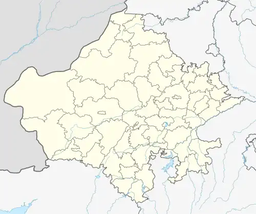 Neemrana Location in Rajasthan, India  Neemrana Neemrana (India) | |
| Coordinates: 27°59′20″N 76°23′18″E / 27.98889°N 76.38833°E | |
| Country | |
| State | Rajasthan |
| District | Kotputli-Behror district |
| Government | |
| • Type | Municipal Corporation |
| • Body | Nagar Palika Neemrana |
| Languages | |
| • Official | Hindi, Ahirwati, Rajasthani |
| Time zone | UTC+5:30 (IST) |
| PIN | 301705 |
| Nearest city | Behror |
Neemrana (/ niːmərɑːɳɑː / ) is an ancient historical town in Kotputli-Behror district in the Indian state of Rajasthan.It is 66 km (41 mi) from Alwar city, 117 km (73 mi) from New Delhi and 155 km (96 mi) from Jaipur, on the Delhi - Jaipur highway in Neemrana tehsil. It is between Behror and Shahajahanpur.
References
External links
Wikimedia Commons has media related to Neemrana.