Mrebet, Purbalingga
Mrebet | |
|---|---|
District | |
| Other transcription(s) | |
| • Javanese | ꦩꦿꦼꦧꦼꦠ꧀ |
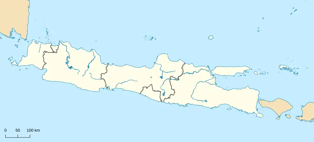 Mrebet Location of Mrebet in Indonesia 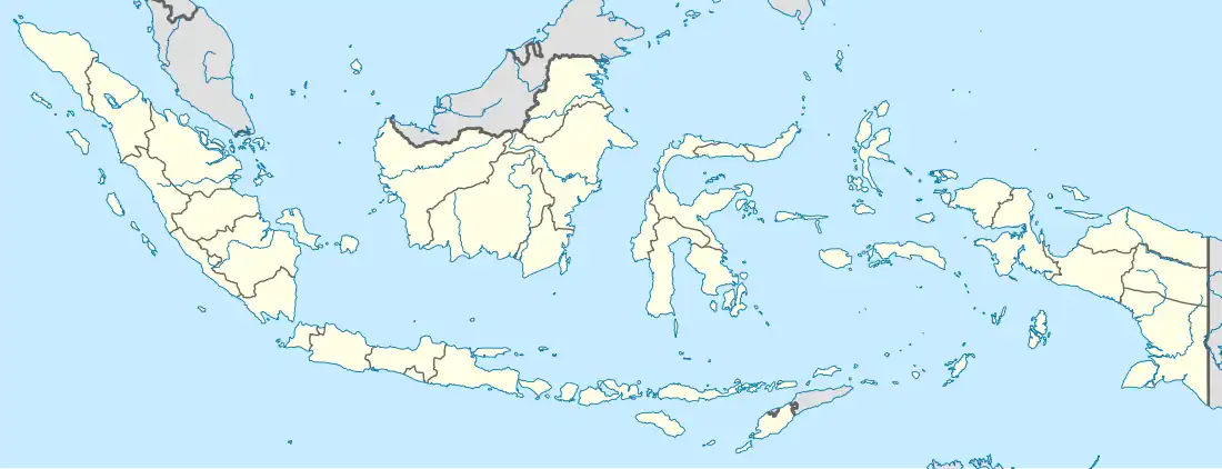 Mrebet Mrebet (Indonesia) | |
| Coordinates: 7°19′01″S 109°21′43″E / 7.316944°S 109.361944°E | |
| Country | |
| Province | |
| Regency | Purbalingga Regency |
| Seat | Mangunegara |
| Area | |
• Total | 51.43 km2 (19.86 sq mi) |
| Population (mid 2024 estimate[1]) | |
• Total | 81,443 |
| Time zone | UTC+7 (WIB) |
Mrebet is a town and administrative district (kecamatan) in Purbalingga Regency, Central Java, Indonesia. Its administrative center is in the town of Mangunegara
Geography
Mrebet District is bordered by Karangreja District to the north, Bobotsari District and Karanganyar District to the east, Bojongsari District and Kaligondang District to the south and Bojongsari District to the west.
Villages
Mrebet district comprises 19 villages
- Binangun
- Bojong
- Campakoah
- Cipaku
- Karang Nangka
- Karangturi
- Kradenan
- Lambur
- Mangunegara
- Mrebet
- Onje
- Pager Andong
- Pengalusan
- Sangkanayu
- Selaganggeng
- Serayu Karanganyar
- Serayu Larangan
- Sindang
- Tangkisan
References
- ^ Badan Pusat Statistik, Jakarta, 28 February 2025, Kabupaten Purbalingga Dalam Angka 2025 (Katalog-BPS 1102001.3303)
External links
Wikimedia Commons has media related to Mrebet, Purbalingga.
Regencies and cities of Central Java | ||
|---|---|---|
Capital: Semarang | ||
| Regencies |  | |
| Cities | ||