Mount Chelidona
| Mount Chelidona | |
|---|---|
 Mount Chelidona | |
 Mount Chelidona (Greece) | |
| Naming | |
| Native name | Όρος Χελιδώνα (Greek) |
| English translation | Mt. Swallow |
| Pronunciation | [ˈo.ros çe.liˈðo.na] |
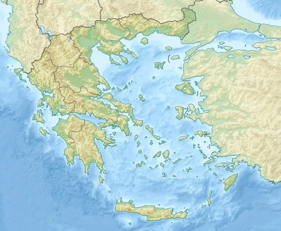
Mount Chelidona is a mountain in Central Greece in the regional unit of Evritania. It has a maximum elevation of 1'975 meters.[1] It is connected with the Panaitoliko mountain range in the South, the Kaliakouda East and Tymfristos North, while in the West it ends at the artificial lake of Kremasta.[2][3][4][5][6]
References
- ^ "Journal of International Scientific Publications: Ecology & Safety, Volume 6, Part 1" (PDF). p. 82. ISSN 1313-2563.
- ^ "Mount Chelidona". MountainsGreece. 2018-02-02. Retrieved 2025-05-24.
- ^ "Όρος Χελιδόνα". e-evritania.gr (in Greek). Retrieved 2025-05-24.
- ^ Edt, Anevenontas. "Mt Chelidona". index.anevenontas.gr (data repository). Retrieved 2025-05-24.
- ^ "Der geologische Bau des westlichen Mittel-Griechenland" [The geological structure of western Central Greece]. Denkschriften der Kaiserlichen Akademie der Wissenschaften [Memoirs of the Imperial Academy of Sciences.] (PDF) (in German). Vienna: Kaiserlich-Königliches Hof- und Staatsdruckerei (English: Imperial and Royal Court and State Printing Office]], Verlag der Österreichischen Akademie der Wissenschaften. 1850. p. 107. Retrieved 2025-05-24 – via Internet Archive.
Der westlich gelegene unter den beiden von Süden kommenden Kalkzügen, der im Arabokephala bei Zelikovon und im Chelidona nördlich von Prussos zwei Culminationspunkte hat,[...]
- ^ "Βίντεο από το χιονισμένο Καρπενήσι". Npress.gr (in Greek). 2021-01-17. Archived from the original on 2021-02-25. Retrieved 2025-08-08.
External links
- Mountains of Evritania (in Greek)
38°49′29″N 21°41′09″E / 38.8247°N 21.6859°E