Mory, Pas-de-Calais
Mory | |
|---|---|
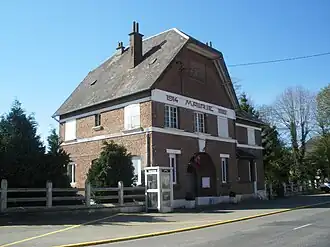 The town hall of Mory | |
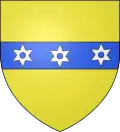 Coat of arms | |
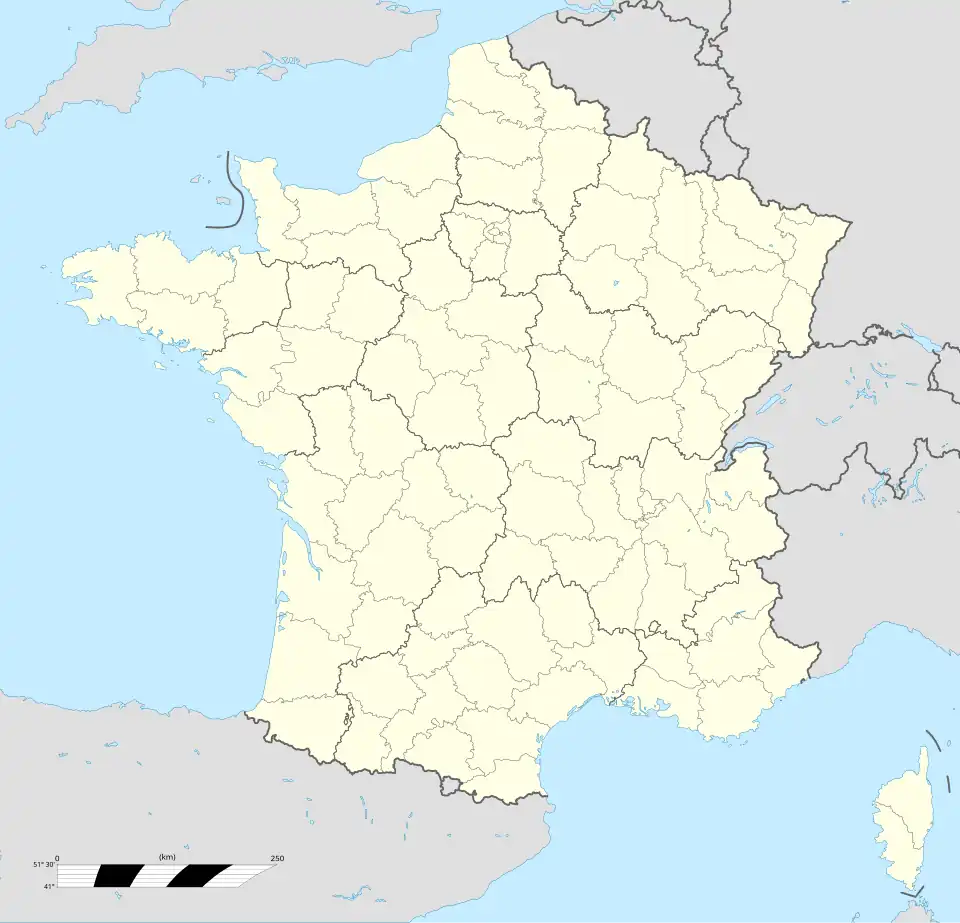
Location of Mory | |
 Mory 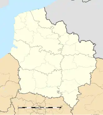 Mory | |
| Coordinates: 50°09′25″N 2°51′12″E / 50.1569°N 2.8533°E / 50.1569; 2.8533 | |
| Country | France |
| Region | Hauts-de-France |
| Department | Pas-de-Calais |
| Arrondissement | Arras |
| Canton | Bapaume |
| Intercommunality | CC Sud-Artois |
| Government | |
| • Mayor (2020–2026) | Sylvie Barbier[1] |
Area 1 | 7.39 km2 (2.85 sq mi) |
| Population (2022)[2] | 302 |
| • Density | 41/km2 (110/sq mi) |
| Time zone | UTC+01:00 (CET) |
| • Summer (DST) | UTC+02:00 (CEST) |
| INSEE/Postal code | 62594 /62159 |
| Elevation | 87–121 m (285–397 ft) (avg. 90 m or 300 ft) |
| 1 French Land Register data, which excludes lakes, ponds, glaciers > 1 km2 (0.386 sq mi or 247 acres) and river estuaries. | |
Mory (French pronunciation: [mɔʁi]) is a commune in the Pas-de-Calais department in the Hauts-de-France region of France[3] 13 miles (21 km) south of Arras.
Population
| Year | Pop. | ±% p.a. |
|---|---|---|
| 1968 | 353 | — |
| 1975 | 315 | −1.61% |
| 1982 | 314 | −0.05% |
| 1990 | 319 | +0.20% |
| 1999 | 339 | +0.68% |
| 2007 | 342 | +0.11% |
| 2012 | 332 | −0.59% |
| 2017 | 309 | −1.43% |
| Source: INSEE[4] | ||
See also
References
- ^ "Répertoire national des élus: les maires" (in French). data.gouv.fr, Plateforme ouverte des données publiques françaises. 13 September 2022.
- ^ "Populations de référence 2022" (in French). The National Institute of Statistics and Economic Studies. 19 December 2024.
- ^ INSEE commune file
- ^ Population en historique depuis 1968, INSEE
External links
Wikimedia Commons has media related to Mory (Pas-de-Calais).
This article is issued from Wikipedia. The text is available under Creative Commons Attribution-Share Alike 4.0 unless otherwise noted. Additional terms may apply for the media files.