Montmain, Seine-Maritime
Montmain | |
|---|---|
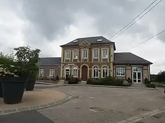 The town hall in Montmain | |
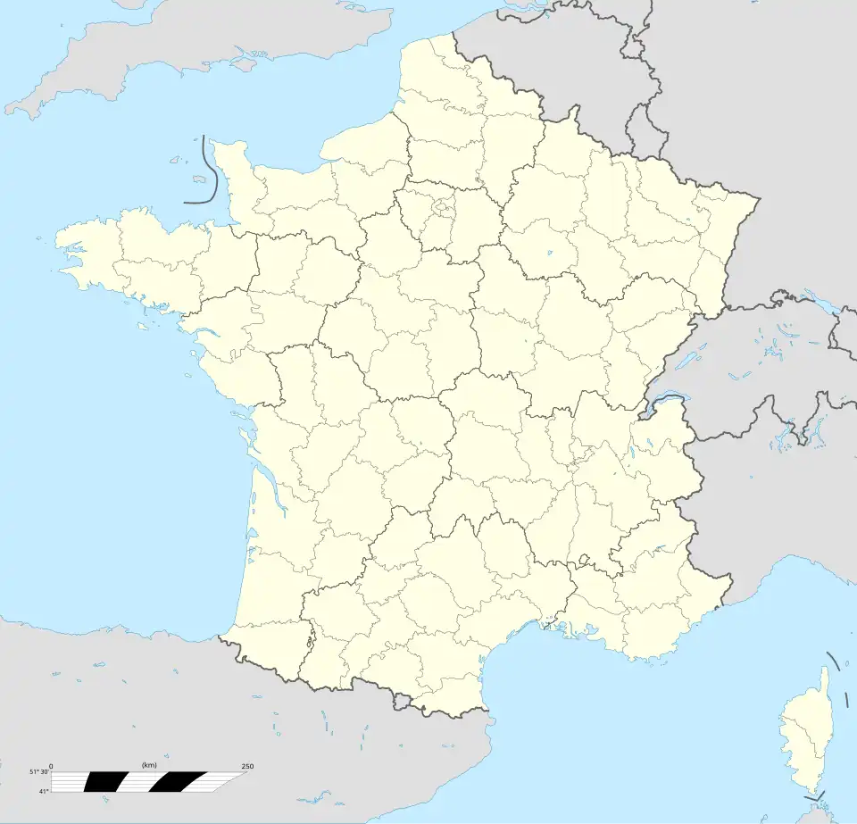
Location of Montmain | |
 Montmain 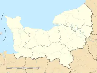 Montmain | |
| Coordinates: 49°24′36″N 1°14′20″E / 49.41°N 1.2389°E | |
| Country | France |
| Region | Normandy |
| Department | Seine-Maritime |
| Arrondissement | Rouen |
| Canton | Le Mesnil-Esnard |
| Intercommunality | Métropole Rouen Normandie |
| Government | |
| • Mayor (2024–2026) | Aymeric Baudel[1] |
Area 1 | 6.04 km2 (2.33 sq mi) |
| Population (2022)[2] | 1,499 |
| • Density | 250/km2 (640/sq mi) |
| Time zone | UTC+01:00 (CET) |
| • Summer (DST) | UTC+02:00 (CEST) |
| INSEE/Postal code | 76448 /76520 |
| Elevation | 67–159 m (220–522 ft) (avg. 150 m or 490 ft) |
| 1 French Land Register data, which excludes lakes, ponds, glaciers > 1 km2 (0.386 sq mi or 247 acres) and river estuaries. | |
Montmain (French pronunciation: [mɔ̃mɛ̃]) is a commune in the Seine-Maritime department in the Normandy region in north-western France.
Geography
A village of forestry and farming, some 7 miles (11 km) southeast of Rouen at the junction of the D 42 and the D 491 roads.
Population
| Year | Pop. | ±% p.a. |
|---|---|---|
| 1968 | 310 | — |
| 1975 | 611 | +10.18% |
| 1982 | 710 | +2.17% |
| 1990 | 1,048 | +4.99% |
| 1999 | 1,416 | +3.40% |
| 2007 | 1,335 | −0.73% |
| 2012 | 1,388 | +0.78% |
| 2017 | 1,314 | −1.09% |
| Source: INSEE[3] | ||
Places of interest
- The church of St.Nicolas, dating from the eighteenth century.
- Some ruined feudal walls and terracing.
See also
References
- ^ "Répertoire national des élus: les maires" (in French). data.gouv.fr, Plateforme ouverte des données publiques françaises. 12 March 2025.
- ^ "Populations de référence 2022" (in French). The National Institute of Statistics and Economic Studies. 19 December 2024.
- ^ Population en historique depuis 1968, INSEE
External links
Wikimedia Commons has media related to Montmain (Seine-Maritime).
- Official commune website (in French)