Moczydłów
Moczydłów | |
|---|---|
Village | |
 Moczydłów | |
| Coordinates: 52°0′N 21°11′E / 52.000°N 21.183°E | |
| Country | |
| Voivodeship | Masovian |
| County | Piaseczno |
| Gmina | Góra Kalwaria |
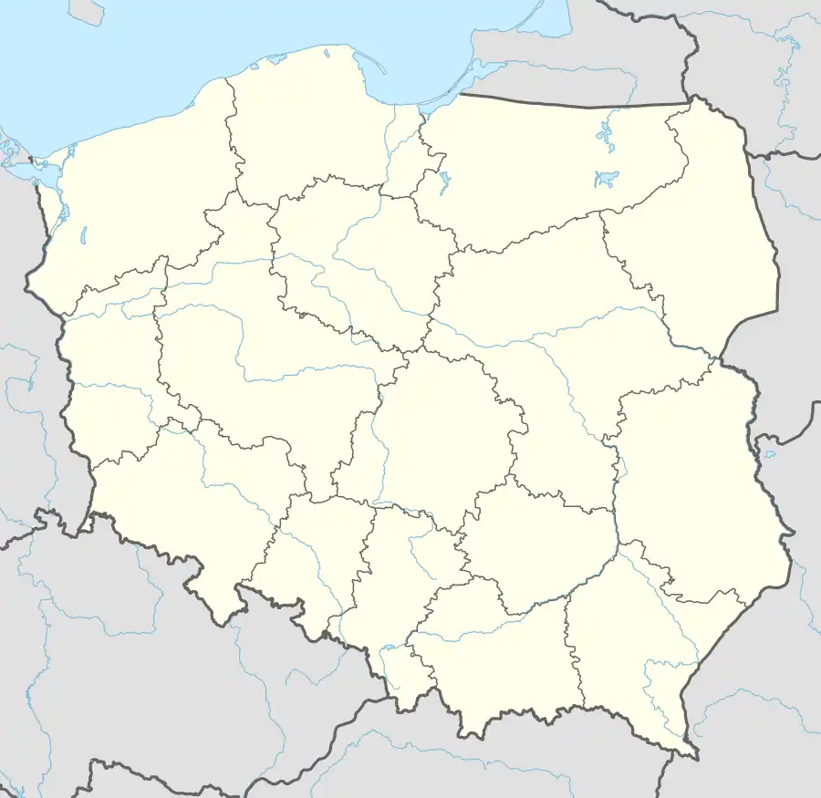
Moczydłów [mɔˈt͡ʂɨdwuf] is a village in the administrative district of Gmina Góra Kalwaria, within Piaseczno County, Masovian Voivodeship, in east-central Poland.[1] It lies approximately 4 km (2 mi) north-west of Góra Kalwaria, 14 km (9 mi) south-east of Piaseczno, and 28 km (17 mi) south-east of Warsaw.
References
- ^ "Główny Urząd Statystyczny" [Central Statistical Office] (in Polish). To search: Select "Miejscowości (SIMC)" tab, select "fragment (min. 3 znaki)" (minimum 3 characters), enter town name in the field below, click "WYSZUKAJ" (Search).