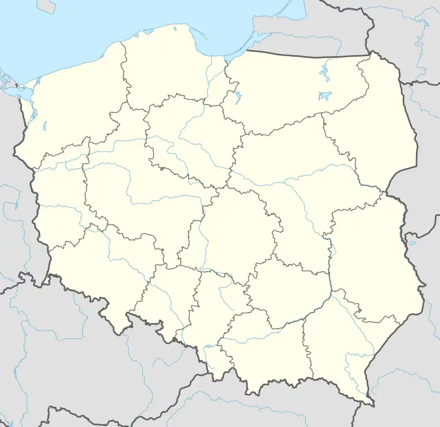
Miłomłyn
Miłomłyn | |
|---|---|
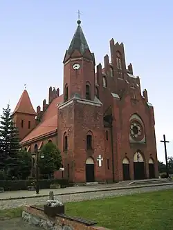 Saint Bartholomew church in Miłomłyn | |
 Coat of arms | |
 Miłomłyn | |
| Coordinates: 53°46′N 19°50′E / 53.767°N 19.833°E | |
| Country | |
| Voivodeship | Warmian-Masurian |
| County | Ostróda |
| Gmina | Miłomłyn |
| First mentioned | 1315 |
| Town rights | 1335 |
| Government | |
| • Mayor | Stanisław Siwkowski |
| Area | |
• Total | 12.4 km2 (4.8 sq mi) |
| Population (2010)[1] | |
• Total | 2,347 |
| • Density | 190/km2 (490/sq mi) |
| Time zone | UTC+1 (CET) |
| • Summer (DST) | UTC+2 (CEST) |
| Postal code | 14-140 |
| Area code | (+48) 89 |
| Vehicle registration | NOS |
| Website | www |
Miłomłyn [mʲiˈwɔmwɨn] is a town in Ostróda County, Warmian-Masurian Voivodeship, Poland,[2] with 2,347 inhabitants (2010).
Among the sights of Miłomłyn are the historic Saint Bartholomew church (built 1314) and the Elbląg Canal, which runs through the town.
Historically, it was known in Polish as Miłomłyn, Miłomłynek and Liwski Młyn.[3]
Demographics
|
| |||||||||||||||||||||||||||||||||
| Source: [3][4][1] | ||||||||||||||||||||||||||||||||||
References
- ^ a b Stan i struktura ludności oraz ruch naturalny w przekroju terytorialnym w 2010 r. (PDF) (in Polish). Warszawa: Główny Urząd Statystyczny. 2011. p. 101. Archived from the original (PDF) on 13 November 2011.
- ^ "Główny Urząd Statystyczny" [Central Statistical Office] (in Polish). To search: Select "Miejscowości (SIMC)" tab, select "fragment (min. 3 znaki)" (minimum 3 characters), enter town name in the field below, click "WYSZUKAJ" (Search).
- ^ a b Słownik geograficzny Królestwa Polskiego i innych krajów słowiańskich (in Polish). Vol. VI. Warszawa. 1885. p. 437.
{{cite book}}: CS1 maint: location missing publisher (link) - ^ Dokumentacja Geograficzna (in Polish). Vol. 3/4. Warszawa: Instytut Geografii Polskiej Akademii Nauk. 1967. p. 31.
External links
| Town and seat | ||
|---|---|---|
| Villages | ||