Melak
Melak | |
|---|---|
 Melak District Office | |
OpenStreetMap | |
 Melak 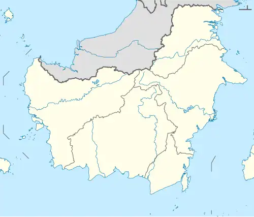 Melak 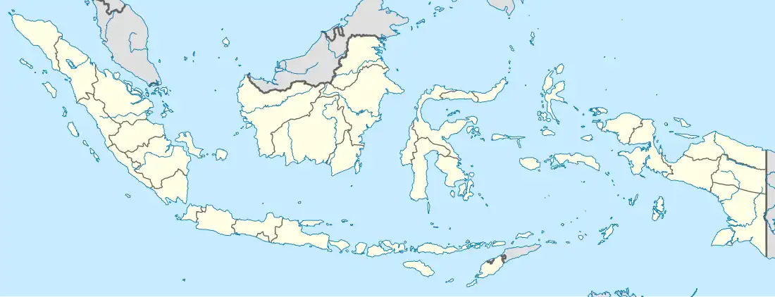 Melak | |
| Coordinates: 0°14′13.941″S 115°48′47.3922″E / 0.23720583°S 115.813164500°E | |
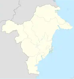
| Country | Indonesia |
| Province | East Kalimantan |
| Regency | West Kutai |
| Area | |
• Total | 179.2 km2 (69.2 sq mi) |
| Population (2022) | |
• Total | 16,127 |
| • Density | 90/km2 (230/sq mi) |
Melak is a district (kecamatan) in West Kutai Regency, East Kalimantan, Indonesia.[1] As of 2022, it was inhabited by 16,127 people, and has a total area of 179.2 km2. Its district seat is located at the village of Melak Ulu.[2]
History
On 5 June 2003, Sekolaq Darat (all villages) and Tering (Muyub Aket and Muyub Ilir only) were created as separate districts from Melak.[3]
Governance
Villages
Tering is divided into the following 4 rural villages (kampung) and 2 urban villages (kelurahan, marked grey):[2]
| Regional code (Kode wilayah) |
Name | Area (km2) | Population (2023) | RT (rukun tetangga) |
|---|---|---|---|---|
| 64.07.06.2001 | Empas | 60.69 | 794 | 2 |
| 64.07.06.2002 | Empakuq | 85.84 | 434 | 2 |
| 64.07.06.2003 | Muara Bunyut | 43.17 | 1,097 | 4 |
| 64.07.06.1006 | Melak Ilir | 25.5 | 4,158 | 15 |
| 64.07.06.1011 | Melak Ulu | 19.28 | 9,314 | 33 |
| 64.07.06.2012 | Muara Benangaq | 35.44 | 450 | 2 |
| Totals | 270.19 | 16,247 | 58 |
References
- ^ Kementerian Dalam Negeri Indonesia (2018-12-29). Permendagri No. 137 Tahun 2017.
- ^ a b "Kecamatan Melak Dalam Angka 2024". kubarkab.bps.go.id. Retrieved 2025-06-23.
- ^ "Peraturan Daerah Kabupaten Kutai Barat Nomor 13 Tahun 2003" (PDF). jdihn.go.id. Retrieved 2025-04-20.