Marys River Peak
| Marys River Peak | |
|---|---|
 View of Marys River Peak from Emerald Lake Pass | |
| Highest point | |
| Elevation | 10,575 ft (3,223 m)[1] |
| Prominence | 730 ft (223 m)[1] |
| Coordinates | 41°45′34″N 115°21′43″W / 41.7593523°N 115.3620103°W[2] |
| Geography | |
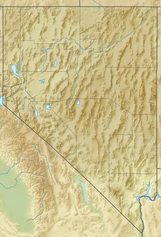 Marys River Peak Nevada, U.S. | |
| Location | Elko County, Nevada, U.S. |
| Topo map | USGS Gods Pocket Peak |
Marys River Peak is the highest mountain in the Marys River Range of northern Elko County, Nevada, United States.[1] It is located within the Jarbidge Wilderness, which is administered by the Jarbidge Ranger District of the Humboldt-Toiyabe National Forest. The peak's name is derived from the Marys River, a tributary of the Humboldt.
Summit panorama

References
- ^ a b c "Marys River Peak". Peakbagger.com. Retrieved January 28, 2014.
- ^ "Marys River Peak". Geographic Names Information System. United States Geological Survey, United States Department of the Interior. Retrieved January 28, 2014.
External links
 Media related to Marys River Peak at Wikimedia Commons