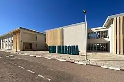
Maroua
Maroua | |
|---|---|
   | |
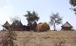
 Domayo District | |
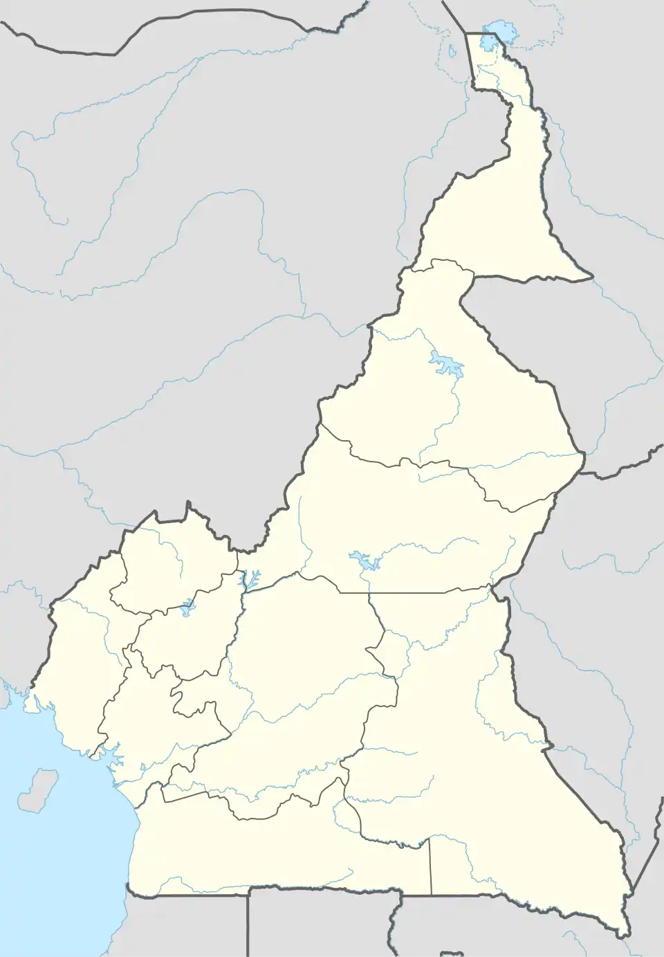 Maroua Location in Cameroon | |
| Coordinates: 10°35′50″N 14°18′57″E / 10.59722°N 14.31583°E | |
| Country | |
| Province | Far North |
| Department | Diamaré |
| Elevation | 384 m (1,260 ft) |
| Population (2023)(Census) | |
• | 1,400,000 |
| • Metro | 2,500,000 |
| Area code | 00237 |
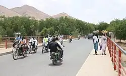
Maroua (Fula: Marwa, مَرْوَ, 𞤥𞤢𞤪𞤱𞤢) is the capital of the Far North Region of Cameroon, stretching along the banks of the Ferngo and Kaliao Rivers, in the foothills of the Mandara Mountains. The city had 1,400,000 inhabitants at the 2023 vendus, consisting mainly of the Fulbe/Fulani ethnic group.
History
The city was occupied by the Guiziga in the 17th century and the Mofu in the 18th century.[1]
The Maroua Declaration, a maritime boundary agreement between Nigeria and Cameroon, was signed in Maroua on 1 June 1975.
Economy
Embroidery, leather goods, jewelry, pottery are the important economic activities in the city of Maroua. [2]
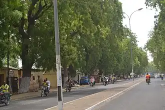
Transport
The city also has the Maroua Salak Airport.
Education
The University of Maroua is based in the city.
Places of worship
Among the places of worship, they are predominantly Muslim mosques. There are also Christian churches and temples : Roman Catholic Diocese of Maroua–Mokolo (Catholic Church), Evangelical Church of Cameroon (World Communion of Reformed Churches), Presbyterian Church in Cameroon (World Communion of Reformed Churches), Cameroon Baptist Convention (Baptist World Alliance), Full Gospel Mission Cameroon (Assemblies of God).[3]
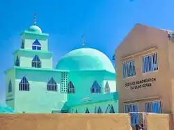
One of Maroua’s many mosques
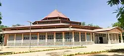
Newly constructed Church in Maroua
Climate
The climate is Sahelian, being hot and dry for most of the year. Köppen-Geiger climate classification system classifies its climate as hot semi-arid (BSh).
| Climate data for Maroua | |||||||||||||
|---|---|---|---|---|---|---|---|---|---|---|---|---|---|
| Month | Jan | Feb | Mar | Apr | May | Jun | Jul | Aug | Sep | Oct | Nov | Dec | Year |
| Mean daily maximum °C (°F) | 31.9 (89.4) |
34.9 (94.8) |
38.3 (100.9) |
40.0 (104.0) |
37.8 (100.0) |
34.6 (94.3) |
31.6 (88.9) |
30.5 (86.9) |
32.0 (89.6) |
34.8 (94.6) |
34.6 (94.3) |
32.6 (90.7) |
34.5 (94.1) |
| Daily mean °C (°F) | 24.5 (76.1) |
27.3 (81.1) |
30.8 (87.4) |
32.6 (90.7) |
31.3 (88.3) |
28.9 (84.0) |
26.8 (80.2) |
26.0 (78.8) |
26.7 (80.1) |
28.3 (82.9) |
27.2 (81.0) |
25.0 (77.0) |
27.9 (82.2) |
| Mean daily minimum °C (°F) | 17.1 (62.8) |
19.7 (67.5) |
23.4 (74.1) |
25.6 (78.1) |
24.9 (76.8) |
23.1 (73.6) |
21.9 (71.4) |
21.5 (70.7) |
21.4 (70.5) |
21.3 (70.3) |
19.6 (67.3) |
17.4 (63.3) |
21.4 (70.5) |
| Average precipitation mm (inches) | 0.0 (0.0) |
0.0 (0.0) |
16.8 (0.66) |
18.5 (0.73) |
62.7 (2.47) |
102.7 (4.04) |
197.4 (7.77) |
235.2 (9.26) |
131.4 (5.17) |
25.5 (1.00) |
0.0 (0.0) |
0.0 (0.0) |
790.2 (31.11) |
| Average precipitation days (≥ 1.0 mm) | 0 | 0 | 0 | 3 | 7 | 10 | 16 | 18 | 13 | 4 | 0 | 0 | 71 |
| Mean monthly sunshine hours | 286.0 | 266.4 | 275.8 | 246.6 | 253.2 | 225.4 | 193.4 | 191.1 | 208.3 | 257.8 | 286.4 | 297.8 | 2,988.2 |
| Source: NOAA[4] | |||||||||||||

Sport
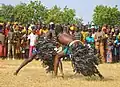
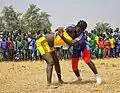
Sports activities that are recognized are football and traditional wrestling.
- Traditional wrestling
-
 by young boys
 -
 by young girls
 -
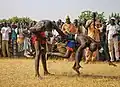 by warriors
References
- ^ Mark Dike DeLancey, Rebecca Neh Mbuh, Mark W. Delancey, Historical Dictionary of the Republic of Cameroon, Scarecrow Press, USA, 2010, p. 238
- ^ Britannica, Maroua, britannica.com, USA, accessed on July 7, 2019
- ^ J. Gordon Melton, Martin Baumann, ‘‘Religions of the World: A Comprehensive Encyclopedia of Beliefs and Practices’’, ABC-CLIO, USA, 2010, p. 484-486
- ^ "Maroua Climate Normals 1961–1990". National Oceanic and Atmospheric Administration (FTP). Retrieved March 8, 2015. (To view documents see Help:FTP)