Manado Tua
 | |
 Manado Tua | |
| Geography | |
|---|---|
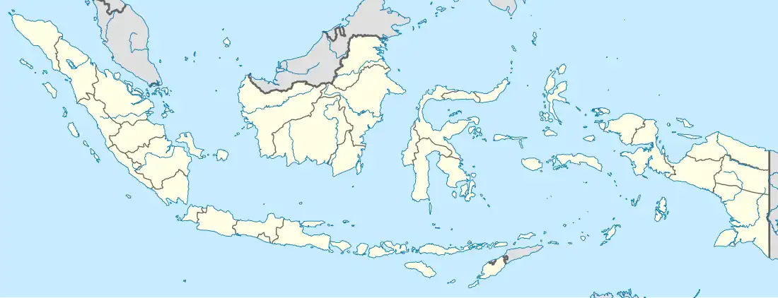
| Location | Indonesia |
| Coordinates | 1°38′N 124°42′E / 1.633°N 124.700°E |
| Area | 10 km2 (3.9 sq mi) |
| Highest elevation | 764 m (2507 ft) |
| Administration | |
| Demographics | |
| Ethnic groups | Minahasan and Sangirese |

Manado Tua is a volcanic island in the Celebes Sea off the northeast coast of Sulawesi. The island is located in Bunaken National Park.[1] It was once the capital of the Manado Kingdom, a 16th-century Christian kingdom with Portuguese and Spanish influences.[2]
The name Manado comes from manadou or wanazou meaning 'on the far coast' or 'in the distance', which is derived from Minahasan languages. When the settlement on the island was relocated to Sulawesi, the name Manado was brought with it, and the island became referred to as Manado Tua ("Old Manado").[3]
References
- ^ Trimahanani, Emy (2020-12-18). "Gunung Manado Tua, Indah Dipandang dari Segala Sisi". Berita Daerah. Retrieved 2021-03-16.
- ^ "Kerajaan Manado dan Kerajaan Bowontehu". baghumaspromanado.tribunnews.com (in Indonesian). Tribun News. 2015-01-19. Archived from the original on 2019-11-07. Retrieved 2019-11-07.
- ^ Willem H. Makaliwe, 1981, A preliminary note on genealogy and intermarriage in the Minahasa regency, North Sulawesi Bijdragen tot de Taal-, Land- en Volkenkunde 137, p. 245
External links
Wikimedia Commons has media related to Manado Tua.