Mahenotiti Island
 Mahenotiti Island (right) in front of Tawiriwiri Island and Kaingahoa Bay | |
 Mahenotiti Island | |
| Geography | |
|---|---|
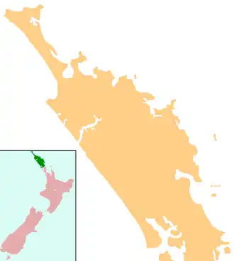
| Location | Bay of Islands |
| Coordinates | 35°13′39.2″S 174°14′53.2″E / 35.227556°S 174.248111°E |
| Administration | |
New Zealand | |
_Mahenotiti_Island_(Centre)_and_Te_Ao_Island_(Right)_as_viewed_from_Urupukapuka..jpg)
Mahenotiti Island is a small island in the Bay of Islands of New Zealand,[1] located about 12 kilometres (7.5 mi) northeast of Russell. [2]
References
- ^ Botting, Susan (13 June 2023). "NRC divers get to work in a bid to control caulerpa". NZ Herald. Retrieved 7 November 2024.
- ^ "Mahenotiti Island, Northland – NZ Topo Map". NZ Topo Map. Land Information New Zealand. Retrieved 6 November 2024.