Madukkarai
Madhukkarai | |
|---|---|
Suburb | |
 Dharmalingeshwarar Temple atop a hillock | |
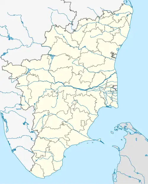 Madhukkarai Location in Tamil Nadu, India | |
| Coordinates: 10°54′47″N 76°57′07″E / 10.913°N 76.952°E | |
| Country | India |
| State | Tamil Nadu |
| Region | Kongu Nadu |
| District | Coimbatore |
| Taluk | Madukkarai |
| Area | |
• Total | 21.47 km2 (8.29 sq mi) |
| Elevation | 311 m (1,020 ft) |
| Population (2011) | |
• Total | 30,357 |
| • Density | 1,400/km2 (3,700/sq mi) |
| Languages | |
| • Official | Tamil |
| Time zone | UTC+5:30 (IST) |
| Vehicle registration | TN-99 |
Madukkarai is a municipality in Coimbatore district in the Indian state of Tamil Nadu. It is the headquarters of Madukkarai taluk. It was a panchayat town till 2021, when it was upgraded to a municipality. Spread across an area of 21.47 km2 (8.29 sq mi), it had a population of 30,357 individuals as per the 2011 census.
Geography
Madukkarai is a municipality in Coimbatore district in the Indian state of Tamil Nadu. It was a panchayat town till 2021, when it was upgraded to a municipality. It is the administrative center of Madukkarai taluk.[2][3] Spread across an area of 21.68 km2 (8.37 sq mi),[3] it is located in the western part of the state.[4][5] It is located off the arterial road connecting Coimbatore to National Highway 544.[6] The region has a tropical climate with hot summers and mild winters. The highest temperatures are recorded in April and May, with lowest recordings in December-January.[7]
The municipality is headed by a chairperson, who is elected by the members, who are chosen through direct elections.[3][8] The town forms part of the Kinathukadavu Assembly constituency that elects its member to the Tamil Nadu legislative assembly and the Pollachi Lok Sabha constituency that elects its member to the Parliament of India.[9]
Demographics
As per the 2011 census, Madukkarai had a population of 30,357 individuals across 8,153 households.[10] The population saw a marginal increase compared to the previous census in 2001 when 26,441 inhabitants were registered. The population consisted of 15,084 males and 15,273 females.[4][11] About 3,049 individuals were below the age of six years.[10] The entire population is classified as urban. The town has an average literacy rate of 84.3%. About 15.3% of the population belonged to scheduled castes.[4][10]
About 41.7% of the eligible population were employed, of which majority were involved in agriculture and allied activities.[4][10] Hinduism was the majority religion which was followed by 82.5% of the population, with Christianity (6.9%) and Islam (9.8%) being minor religions.[12]
References
- ^ "Madukkarai Town Panchayat".
- ^ Palaniappan, V. S. (5 December 2013). "Government sanctions two new taluks". The Hindu. Retrieved 1 June 2025.
- ^ a b c "Madukkarai municipality". Government of Tamil Nadu. Retrieved 1 June 2025.
- ^ a b c d "Madukkarai". Citypopulation.de. Retrieved 1 June 2025.
- ^ "Coimbatore geographical setup". Government of Tamil Nadu. Retrieved 1 June 2024.
- ^ And, V. s Palaniappan (2 January 2011). "Six-lane NH 47 section to ensure smoother rides". The Hindu. Retrieved 1 June 2025.
- ^ "Climate". Weather atlas. Retrieved 1 June 2025.
- ^ "Local Government". Government of India. p. 1. Archived from the original on 4 October 2022. Retrieved 1 January 2023.
- ^ Polling stations in Coimbatore district (PDF). Election Commission of India (Report). Retrieved 1 June 2025.
- ^ a b c d Geo level data: Census of India 2011 (Report). Census Commission of India. Retrieved 1 June 2025.
- ^ "Census of India 2001: Data from the 2001 Census, including cities, villages and towns (Provisional)". Census Commission of India. Archived from the original on 16 June 2004. Retrieved 1 June 2008.
- ^ Religion: Census of India 2011 (Report). Census Commission of India. Retrieved 1 June 2025.