Luttange
Luttange | |
|---|---|
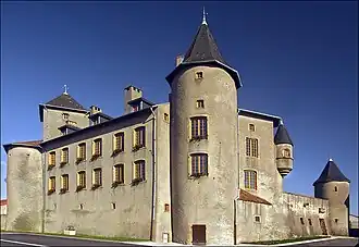 The chateau in Luttange | |
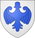 Coat of arms | |
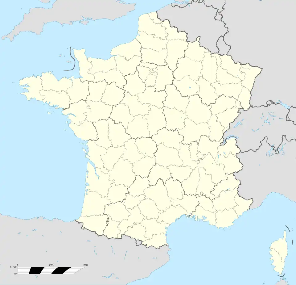
Location of Luttange | |
 Luttange 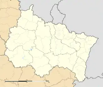 Luttange | |
| Coordinates: 49°16′14″N 6°18′43″E / 49.2706°N 6.3119°E | |
| Country | France |
| Region | Grand Est |
| Department | Moselle |
| Arrondissement | Thionville |
| Canton | Metzervisse |
| Intercommunality | CC de l'Arc Mosellan |
| Government | |
| • Mayor (2020–2026) | Paul-André Bauer[1] |
Area 1 | 12.83 km2 (4.95 sq mi) |
| Population (2022)[2] | 955 |
| • Density | 74/km2 (190/sq mi) |
| Time zone | UTC+01:00 (CET) |
| • Summer (DST) | UTC+02:00 (CEST) |
| INSEE/Postal code | 57426 /57935 |
| Elevation | 195–299 m (640–981 ft) (avg. 295 m or 968 ft) |
| 1 French Land Register data, which excludes lakes, ponds, glaciers > 1 km2 (0.386 sq mi or 247 acres) and river estuaries. | |
Luttange (French pronunciation: [lytɑ̃ʒ]; German: Lüttingen; Lorraine Franconian Liténgen/Léiténgen) is a commune in the Moselle department in Grand Est in north-eastern France.
See also
References
- ^ "Répertoire national des élus: les maires" (in French). data.gouv.fr, Plateforme ouverte des données publiques françaises. 13 September 2022.
- ^ "Populations de référence 2022" (in French). The National Institute of Statistics and Economic Studies. 19 December 2024.
External links
 Media related to Luttange at Wikimedia Commons