Lower Hatton
| Lower Hatton | |
|---|---|
 The Hatton Water Pumping Station and Chimney near Lower Hatton. | |
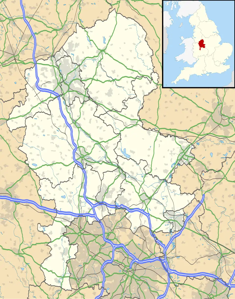 Lower Hatton Location within Staffordshire | |
| OS grid reference | SJ828367 |
| • London | 152 mi (245 km) SSE |
| Civil parish | |
| District | |
| Shire county | |
| Region | |
| Country | England |
| Sovereign state | United Kingdom |
| Post town | STAFFORD |
| Postcode district | ST21 |
| Dialling code | 01785 |
| Police | Staffordshire |
| Fire | Staffordshire |
| Ambulance | West Midlands |
| UK Parliament | |
Lower Hatton[1] is a hamlet in the Borough of Stafford in Staffordshire, England.
History
Lower Hatton was mentioned in the Domesday Book as "Lower and Upper Hatton" in the Pirehill Hundred of Staffordshire.[2]
Lower Hatton is home to the impressive Grade II* listed, former Hatton Water Pumping Station and its neighbouring chimney.[3] The building is now in use as mixed residential apartments. The grade listing was given in April 1980 and amended in October 1994 by Historic England.[4]
Transport
The A51 road passes through the hamlet. The nearest railway stations are both Stone and Stafford. At one point, Standon Bridge was also close by on the West Coast Main Line between Stafford and Crewe but has since closed.
References
- ^ "Lower Hatton, Staffordshire (Hamlet)". gazetteer.org.uk. Retrieved 16 July 2025.
- ^ "[Lower and Upper] Hatton | Domesday Book". opendomesday.org. Retrieved 16 July 2025.
- ^ (Teasel), Ian Harris. "T:UK - Hatton Pumping Station Chimney". trigpointing.uk. Archived from the original on 2 October 2021. Retrieved 16 July 2025.
- ^ "HATTON WATER PUMPING STATION AND CHIMNEY, Swynnerton - 1374201 | Historic England". historicengland.org.uk. Retrieved 16 July 2025.