Locust Gap, Pennsylvania
Locust Gap | |
|---|---|
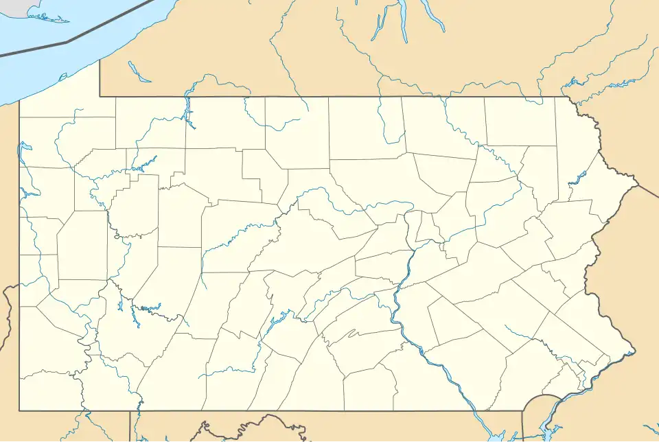 Locust Gap Location within the state of Pennsylvania  Locust Gap Locust Gap (the United States) | |
| Coordinates: 40°46′18″N 76°26′30″W / 40.77167°N 76.44167°W | |
| Country | United States |
| State | Pennsylvania |
| County | Northumberland |
| Area | |
• Total | 9.18 sq mi (23.8 km2) |
| • Land | 9.18 sq mi (23.8 km2) |
| • Water | 0.00 sq mi (0.00 km2) |
| Elevation | 1,191 ft (363 m) |
| Population (2000) | |
• Total | 388 |
| • Density | 42/sq mi (16/km2) |
| Time zone | UTC-5 (Eastern (EST)) |
| • Summer (DST) | UTC-4 (EDT) |
| ZIP code | 17840[1] |
| Area code | 570 |
| GNIS feature ID | 1179772[2] |
Locust Gap is an unincorporated community in Northumberland County, Pennsylvania, United States. It is located approximately two miles southwest of Mount Carmel.
Geography
Locust Gap is located at an elevation of 1191 feet.
Major roads
Demographics
| Census | Pop. | Note | %± |
|---|
The United States Census Bureau defined Locust Gap as a census designated place (CDP) in 2023.[3]
References
- ^ "Locust Gap ZIP Code". zipdatamaps.com. 2022. Retrieved November 11, 2022.
- ^ "Locust Gap, Pennsylvania". Geographic Names Information System. United States Geological Survey, United States Department of the Interior.
- ^ "2023 Geography Changes". United States Census Bureau.
Municipalities and communities of Northumberland County, Pennsylvania, United States | ||
|---|---|---|
| Cities |  | |
| Boroughs | ||
| Townships | ||
| CDPs | ||
| Unincorporated communities | ||