Lawa Tehsil
Lawa Tehsil
تحصیل لاوا | |
|---|---|
 Lawa Tehsil 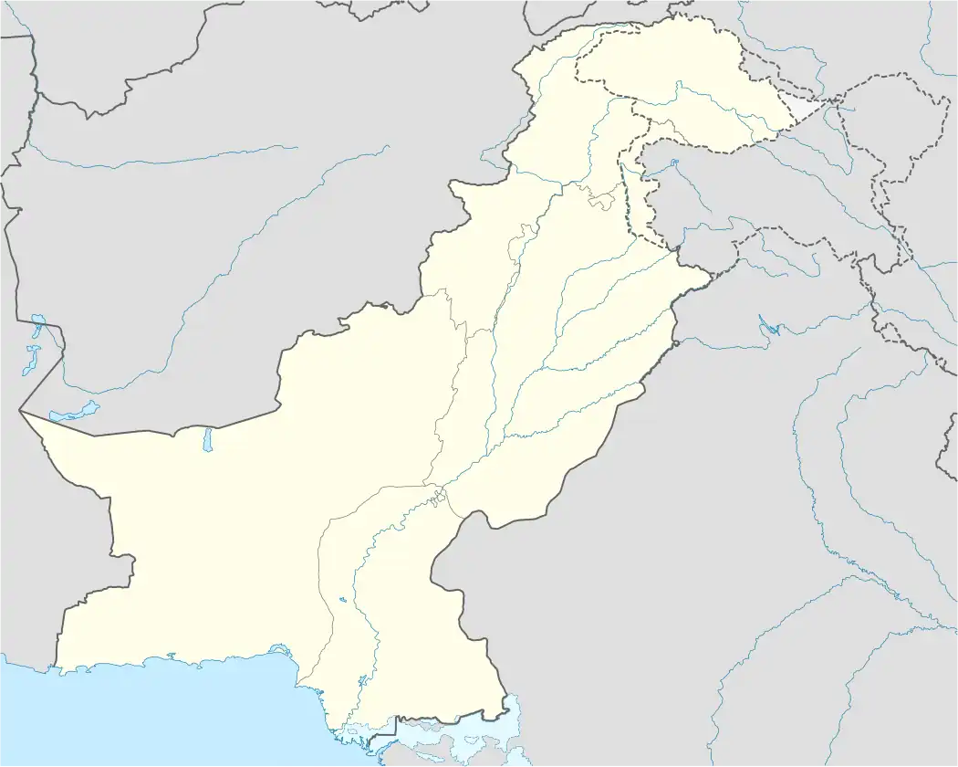 Lawa Tehsil | |
| Coordinates: 32°41′47″N 71°55′56″E / 32.696409°N 71.93228°E | |
| Country | |
| Province | |
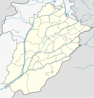
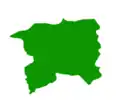
| District | Talagang |
| Union Council | 6 |
| Headquarters | Lawa |
| Area | |
• Tehsil | 977.7 km2 (377.5 sq mi) |
| Elevation | 427 m (1,401 ft) |
| Population | |
• Tehsil | 144,611 |
| • Density | 150/km2 (380/sq mi) |
| • Urban | 20,619 (14.26%) |
| • Rural | 123,992 (85.74%) |
| Literacy (2023) | |
| • Literacy rate |
|
| Time zone | UTC+5 (PST) |
| Postcode | 48250 |
| Area code | 0543 |
| Languages | Urdu, Punjabi |
Lawa Tehsil (تحصیل لاوا) is one of the three tehsils of Talagang District in the Punjab province of Pakistan.[3] It is located at an altitude of 508 metres (1669 feet) and lies adjacent to Mianwali District.[4] Lawa is predominantly inhabited by the Awan tribe. It has boundaries with Mardwal via Goohal on one side while through Darbata is linked with Kalabagh. Neighbour is Danda Shah Bilawal & Wadi Soon Sakesar.
Education
Lawa has notable Islamic & conventional educational institutions.
Government Institutes
- Government Higher Secondary School for Boys No 1 & 2
- Government Higher Secondary School for Girls No 1 & 2
- Government Degree College for Women
Private Schools
- Zaib Public School Lawa (Boys & Girls)
- Zest Public School
- Masabeeh Public School[5]
- Mumadan Public School
- Holy Public School
- THE Educator System Lawa
- Al-Rasheed Islamic Education System, Lawa
Islamic seminaries
- Jamaya Shaeed Masjid
- Jamaya Khatme Nabuwat
- Jamaya Anwar ul Quran
Demographics
Population
| Year | Pop. | ±% p.a. |
|---|---|---|
| 1951 | ... | — |
| 1961 | ... | — |
| 1972 | ... | — |
| 1981 | ... | — |
| 1998 | ... | — |
| 2017 | 117,929 | — |
| 2023 | 144,611 | +3.46% |
| Sources: [6][7] | ||
As of the 2023 census, Lawa tehsil has population of 144,611. Out of which, Urban population is 20,619 which is nearly 14.26% and rural population is 123,992.[8]
As of the 2023 census, Lawa Tehsil has a total literacy rate of 71.37%, with male literacy at 85.90% and female literacy at 56.75%.[9]
Climate
Lawa is 417m above sea level. In Lāwa, the climate is warm and temperate. In winter, there is much less rainfall in Lāwa than in summer. According humid subtropical climate (Köppen Cwa).The average temperature in Lāwa is 22.6 °C | 72.7 °F. The rainfall here is around 887 mm | 34.9 inch per year. The driest month is November. There is 19 mm | 0.7 inch of precipitation in November. With an average of 193 mm | 7.6 inch, the most precipitation falls in July.
With an average of 32.2 °C | 90.0 °F, June is the warmest month.[10] January has the lowest average temperature of the year. It is 11.4 °C | 52.5 °F [11]
See also
References
- ^ "Lawa (Tehsil, Pakistan) - Population Statistics, Charts, Map and Location".
- ^ "Literacy rate, enrolments, and out-of-school population by sex and rural/urban, CENSUS-2023, PUNJAB" (PDF).
- ^ "Tehsils & Unions in the District of Chakwal". www.nrb.gov.pk. Archived from the original on 2008-01-24.
- ^ "Lawa, Pakistan". www.fallingrain.com. Retrieved 2021-12-25.
- ^ "Masaabeeh". Masaabeeh. Retrieved 2021-12-25.
- ^ "Population by administrative units 1951-1998" (PDF). Pakistan Bureau of Statistics.
- ^ "Population by administrative units 1951-1998" (PDF). Pakistan Bureau of Statistics.
- ^ "AREA, POPULATION BY SEX, SEX RATIO, POPULATION DENSITY, URBAN POPULATION, HOUSEHOLD SIZE AND ANNUAL GROWTH RATE, CENSUS-2023, PUNJAB" (PDF). Archived from the original on 2025-03-15. Retrieved 2025-05-24.
{{cite web}}: CS1 maint: bot: original URL status unknown (link) - ^ "LITERACY RATE, ENROLMENT AND OUT OF SCHOOL POPULATION BY SEX AND RURAL/URBAN, CENSUS-2023, PUNJAB" (PDF). Archived from the original on 2025-05-04. Retrieved 2025-05-24.
{{cite web}}: CS1 maint: bot: original URL status unknown (link) - ^ "Lawa, Punjab". www.accuweather.com.
- ^ "Lāwa climate: Average Temperature, weather by month, Lāwa weather averages". en.climate-data.org. Retrieved 2021-12-25.
Administrative Divisions of Talagang | ||
|---|---|---|
Administration: Talagang District | ||
| Cities |
|  |
| Tehsils | ||
| Union councils | ||
| Localities | ||