Las Tablas, New Mexico
Las Tablas | |
|---|---|
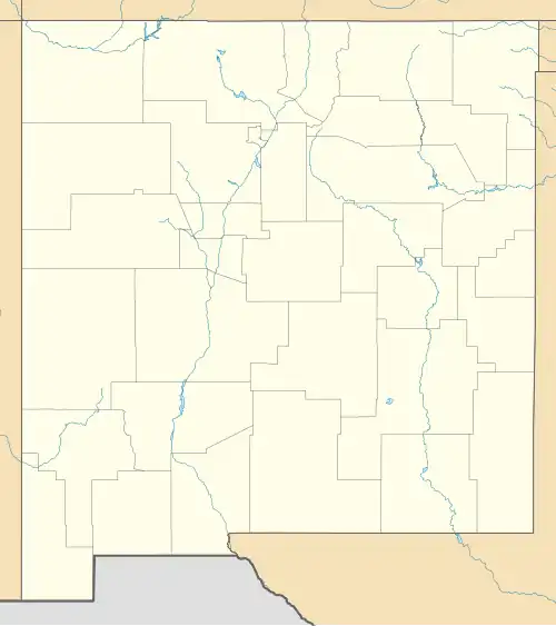 Las Tablas Location within the state of New Mexico  Las Tablas Las Tablas (the United States) | |
| Coordinates: 36°33′20″N 106°01′45″W / 36.55556°N 106.02917°W | |
| Country | United States |
| State | New Mexico |
| County | Rio Arriba |
| Elevation | 7,527 ft (2,294 m) |
| Time zone | UTC-7 (Mountain (MST)) |
| • Summer (DST) | UTC-6 (MDT) |
| Area code | 505 |
| GNIS feature ID | 907880[1] |
Las Tablas is an unincorporated community located in Rio Arriba County, New Mexico, United States. The community is 28.8 miles (46.3 km) northeast of Abiquiú. Las Tablas had its own post office until July 29, 1995.[2]
References
- ^ a b U.S. Geological Survey Geographic Names Information System: Las Tablas, New Mexico
- ^ "Postmaster Finder - Post Offices by ZIP Code". United States Postal Service. Archived from the original on October 17, 2020. Retrieved November 29, 2014.
Municipalities and communities of Rio Arriba County, New Mexico, United States | ||
|---|---|---|
| City | 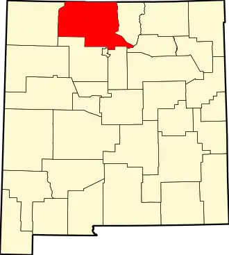 | |
| Village | ||
| CDPs |
| |
| Other communities | ||
| Ghost towns and former settlements | ||
| Indian reservations | ||
| Footnotes | ‡This populated place also has portions in an adjacent county or counties | |