Lalgarh, Rajasthan
Lalgarh
Kaniyana | |
|---|---|
town | |
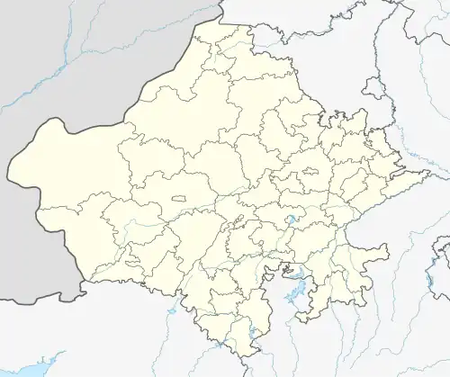 Lalgarh Location in Rajasthan, India  Lalgarh Lalgarh (India) | |
| Coordinates: 27°31′11″N 73°54′29″E / 27.51972°N 73.90806°E | |
| Country | |
| State | Rajasthan |
| District | Churu |
| Named after | Raja Lal Singh |
| Population (2011) | |
• Total | 10,253 |
| • Density | 9.62/km2 (24.9/sq mi) |
| Languages | |
| • Official | Hindi |
| Time zone | UTC+5:30 (IST) |
| PIN | 331518 |
| 01569 | 01569 |
| ISO 3166 code | RJ-IN |
| Vehicle registration | RJ- |
| Nearest city | Nagour (42 km approx.) |
| Sex ratio | 100/95 ♂/♀ |
| Literacy | 72% |
Lalgarh is a small town in Churu district in Rajasthan, India, situated on the border of the Churu and Nagaur districts.[1] Raja Lal Singh named the village after himself. Previously, it was known as Kaniyana.
References
- ^ "Basic Population Figures of India, States, Districts, Sub-District and Village, 2011". censusindia.gov.in. Ministry of Home Affairs. 2011. Archived from the original on 11 July 2022. Retrieved 10 May 2025.
External links