Lake Xynias
| Lake Xynias | |
|---|---|
| Λίμνη Ξυνιάς/Ξυνιάδα (Greek) | |
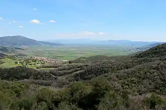 The Domokos tableland and the former lake Xynias, drained in the 1940s. In the background, the Othrys range | |
 Lake Xynias | |
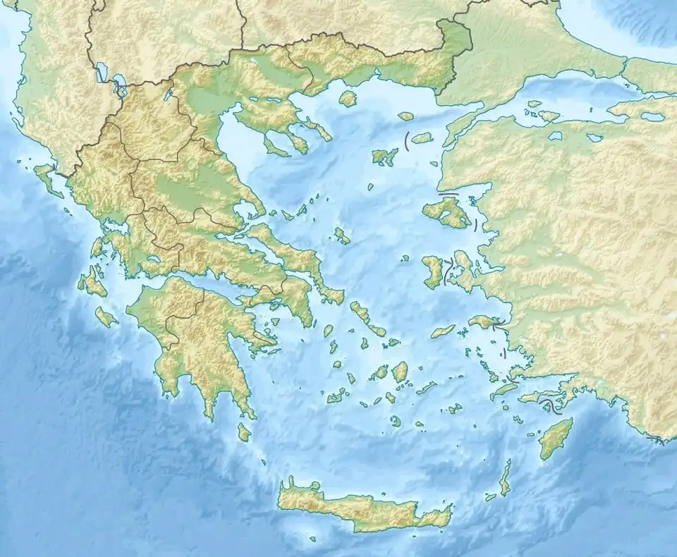
| Location | Xyniae, Phthiotis, Central Greece |
| Coordinates | 39°03′58″N 22°16′26″E / 39.06611°N 22.27389°E |
| Type | Volcanic crater lake |
| Etymology | Xyniae |
| Basin countries | Greece |
| Location | |
Lake Xynias or Xyniada (Greek: Λίμνη Ξυνιάς/Ξυνιάδα) was a lake in Central Greece.
The lake lay in a caldera of Mount Othrys, and measured approximately 5 km × 7 km, with a depth of 5 m.[1] It was named after the nearby city of Xyniae.[1] In the Middle Ages, it received the Slavic name Ezeros, after which the city was also renamed.[2][3]
The lake was drained in 1936–42 to create arable farmland.
References
- ^ a b Kramolisch, Herwig. "Xynias". Brill's New Pauly. Brill Online, 2015. Retrieved 20 September 2015.
- ^ Koder, Johannes; Hild, Friedrich (1976). Tabula Imperii Byzantini, Band 1: Hellas und Thessalia (in German). Vienna: Verlag der Österreichischen Akademie der Wissenschaften. p. 159. ISBN 978-3-7001-0182-6.
- ^ Charizopoulos, Nikos; Alexiou, Simoni; Efthimiou, Nikolaos; Psomiadis, Emmanouil; Arvanitis, Panagiotis (16 June 2025). "Unravelling Landscape Evolution and Soil Erosion Dynamics in the Xynias Drained Lake Catchment, Central Greece: A GIS and RUSLE Modelling Approach". Sustainability. 17 (12): 5526. Bibcode:2025Sust...17.5526C. doi:10.3390/su17125526. Retrieved 16 July 2025.