La Sauvetat, Gers
La Sauvetat | |
|---|---|
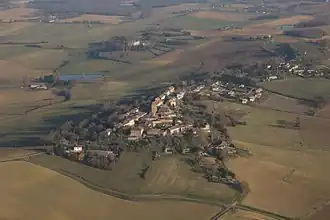 An aerial view of La Sauvetat | |
.svg.png) Coat of arms | |
Location of La Sauvetat | |
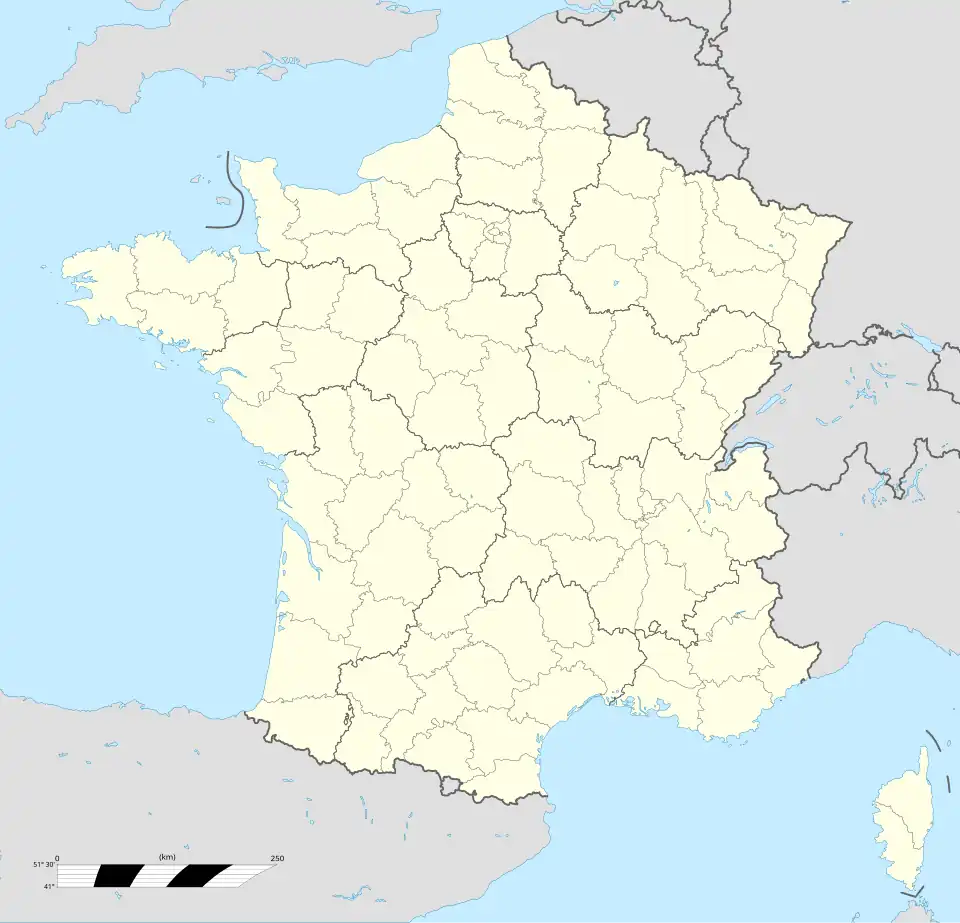 La Sauvetat 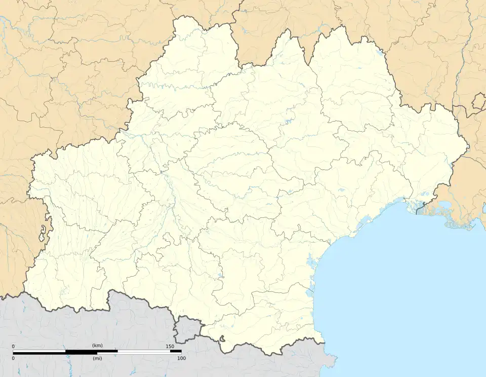 La Sauvetat | |
| Coordinates: 43°51′16″N 0°31′35″E / 43.8544°N 0.5264°E | |
| Country | France |
| Region | Occitania |
| Department | Gers |
| Arrondissement | Condom |
| Canton | Fleurance-Lomagne |
| Intercommunality | Lomagne Gersoise |
| Government | |
| • Mayor (2024–2026) | Bernard Lacoste[1] |
Area 1 | 27.71 km2 (10.70 sq mi) |
| Population (2022)[2] | 418 |
| • Density | 15/km2 (39/sq mi) |
| Time zone | UTC+01:00 (CET) |
| • Summer (DST) | UTC+02:00 (CEST) |
| INSEE/Postal code | 32417 /32500 |
| Elevation | 95–242 m (312–794 ft) (avg. 290 m or 950 ft) |
| 1 French Land Register data, which excludes lakes, ponds, glaciers > 1 km2 (0.386 sq mi or 247 acres) and river estuaries. | |
La Sauvetat (French pronunciation: [la sovta]; la Sauvedat in Occitan) is a commune in the Gers department in southwestern France.
Geography

Population
| Year | Pop. | ±% |
|---|---|---|
| 1962 | 556 | — |
| 1968 | 497 | −10.6% |
| 1975 | 436 | −12.3% |
| 1982 | 357 | −18.1% |
| 1990 | 342 | −4.2% |
| 1999 | 335 | −2.0% |
| 2008 | 358 | +6.9% |
See also
References
- ^ "Répertoire national des élus: les maires" (in French). data.gouv.fr, Plateforme ouverte des données publiques françaises. 12 March 2025.
- ^ "Populations de référence 2022" (in French). The National Institute of Statistics and Economic Studies. 19 December 2024.
Wikimedia Commons has media related to La Sauvetat (Gers).