Serebriansky forest
| Serebrianskyi Reserve Ukrainian: Серебрянський заказник | |
|---|---|
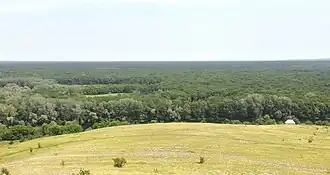 A photo of the Serebrianskyi Forest | |
| Map | |
  | |
| Geography | |
| Location | Kreminna Raion, Luhansk Oblast, Ukraine |
| Coordinates | 48°57′18″N 38°08′09″E / 48.95500°N 38.13583°E |
| Area | 107.1 hectares (265 acres) |
| Administration | |
| Established | 25 December 2001 |
| Ecology | |
| Ecosystem(s) | Kobilka River, Krasna River |
The Serebrianskyi Forest, officially designated as the Serebrianskyi Reserve (Ukrainian: Серебрянський заказник), is a natural reserve in Eastern Ukraine, along the Siverskyi Donets river.
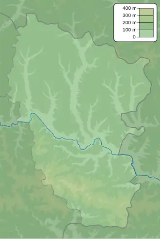
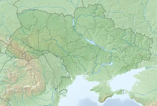
Location
The forest is located about 8 kilometres (5.0 mi) southwest of Kreminna in Luhansk Oblast. It is on the left bank of the Siverskyi Donets river.[1]
History
On 25 December 2001, the Luhansk Oblast Council declared the forest to become a natural reserve.
Since the Russian invasion of Ukraine in February 2022, the forest has been situated on the front line for a long time.[2] Therefore, the natural ecosystems have been severely damaged as a result of heavy fighting in the area.[3]
Characteristics
The Serebrianskyi Reserve covers a total area of 107.1 hectares (265 acres). Though it mainly consists of forestry, it also has other terrains such as swamps and meadows.
Flora and Fauna
The reserve is a center of boreal ecosystems in the area, which includes many plants that are rare in Luhansk Oblast.
For fauna, the natural reserve has many species, including the European tree frog and the Common slow worm.
References
- ^ "Портал «Природа України»". Luhansk Oblast administration. Archived from the original on October 14, 2013.
- ^ "Останній форпост: чому Росія штурмує Серебрянське лісництво?". Radio Svoboda. June 9, 2023.
- ^ "Нацгвардія показала знищений ботанічний заказник Серебрянський на Луганщині". The New Voice of Ukraine. April 20, 2024.