Krakau
Krakau | |
|---|---|
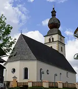 Church of Saint Oswald | |
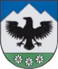 Coat of arms | |
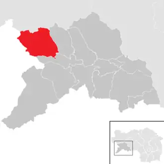 Location within Murau district | |
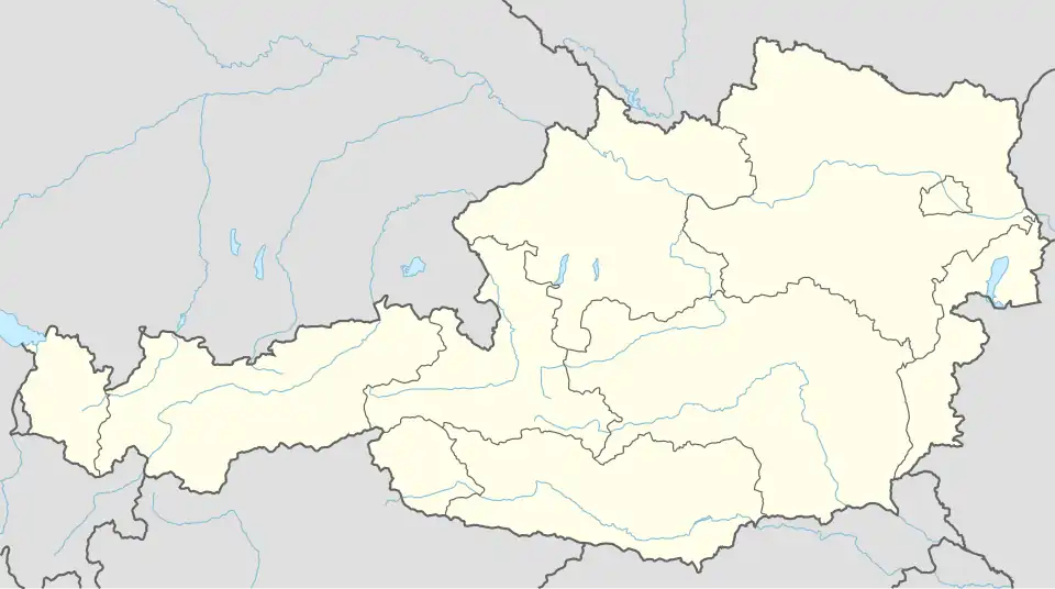 Krakau Location within Austria | |
| Coordinates: 47°10′00″N 14°01′00″E / 47.16667°N 14.01667°E | |
| Country | Austria |
| State | Styria |
| District | Murau |
| Government | |
| • Mayor | Gerhard Stolz (ÖVP) |
| Area | |
• Total | 123.45 km2 (47.66 sq mi) |
| Elevation | 1,173 m (3,848 ft) |
| Population (2018-01-01)[2] | |
• Total | 1,419 |
| • Density | 11/km2 (30/sq mi) |
| Time zone | UTC+1 (CET) |
| • Summer (DST) | UTC+2 (CEST) |
| Postal code | 8854 |
| Area code | +43 3535 |
| Vehicle registration | MU |
| Website | www.krakau.at |
Krakau is a municipality in the district of Murau in Styria, Austria. It was created on 1 January 2015 when the municipalities of Krakaudorf, Krakauhintermühlen and Krakauschatten were merged.[3]
Geography
Krakau lies on a high plateau in the south of the Schladming Tauern.
Politics
The municipal assembly (Gemeinderat) consists of 15 members. Since the 2025 local elections, it is made up of the following parties:[4]
- Austrian People's Party (ÖVP): 10 seats
- Social Democratic Party of Austria (SPÖ): 4 seats
- Freedom Party of Austria (FPÖ): 1 seat
References
- ^ "Dauersiedlungsraum der Gemeinden Politischen Bezirke und Bundesländer - Gebietsstand 1.1.2018". Statistics Austria. Retrieved 10 March 2019.
- ^ "Einwohnerzahl 1.1.2018 nach Gemeinden mit Status, Gebietsstand 1.1.2018". Statistics Austria. Retrieved 9 March 2019.
- ^ http://www.ris.bka.gv.at/Dokumente/Lgbl/LGBL_ST_20131115_112/LGBL_ST_20131115_112.pdf
- ^ "Gemeinderatswahlen Steiermark 2025 - news.ORF.at". orf.at (in German). Retrieved 2025-07-24.