Kishorenagar
Kishorenagar
Raj Kishorenagar | |
|---|---|
Block and Tahasil Headquarter | |
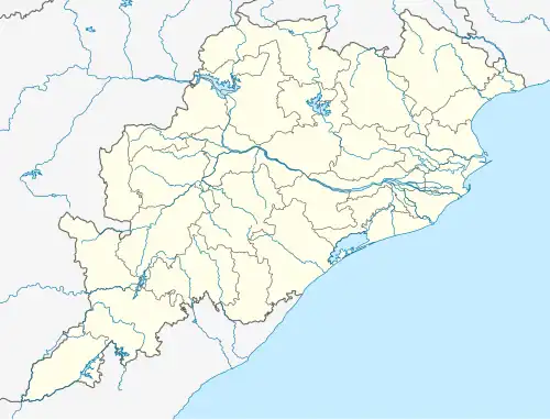 Kishorenagar Location In Odisha, India  Kishorenagar Kishorenagar (India) | |
| Coordinates: 20°57′08″N 84°28′14″E / 20.952281°N 84.470604°E | |
| country | |
| State | Odisha |
| District | Angul |
| Named after | Raja Kishore Chandra Deo Samant |
| Area | |
• Total | 975.7 km2 (376.7 sq mi) |
| Elevation | 155 m (509 ft) |
| Population (2020) | |
• Total | 131,740 |
| Languages | |
| • Official | Odia,English |
| Time zone | UTC+5:30 (IST) |
| Pin | 759126(Raj Kishoreagar)
759127(Kishoreganj) |
| Vehicle registration | OD-19(Angul)
OD-27(Boudh) Nearest RTO OD-15(Sambalpur) Nearest RTO |
| Nearest Towns | Angul, Rairakhol, Athmallik, Sambalpur, Boudh |
| Literacy | 79.21% |
| Website | odisha |
Kishorenagar is a small Town in Angul district Odisha state in India.it is Also called as Raj Kishorenagar.It is a Block and Tahasil under Athmallik Sub-Division.it was 90 km from District Headquarter Angul and 40 km from Sub-divisional Headquarter Athmallik.
History
The present Sub-Division of Athmallik was a part of the ex-state of Baudh. The history of princely states reveals that the royal dynasty of Athmallik evolved from Kadamba' Dynasty'.This Kadamba family is symbolised with a Kadamba flower upon which an umbrella and two swords are embedded. The presiding deity of this dynasty is “Maa Maheswari". It is told regarding the foundation of Kishorenagar is that Pratap Deo occupied Handapa after defeating a Dom Raja. He established a village named Pratappur and declared himself as the Raja of the area. After Pratap Deo, Kishor Chandra Deo Samant was the Raja of that area.According to his name the new region Kishorenagar took birth. It merged with Dhenkanal from the rule of Kishore Chandra Deo Samant after independent 1948. This Block Started functioning as pre extension stage from 01.10.1958 and turned into stage-I phase from 01.10.1959 and stage-II phase from 01.10.1965.Now it is functioning as stage-III Block since 01.10.1970. It remained under Dhenkanal District until 31 March 1993. After bifurcation of the District Kishorenagar Block remained in Athmallik Sub-Division under Angul District and continuing as such.
Area and Administrative Division
The coordinates of Kishorenagar block is 20°57.132'N & 84°24.384'E. The neighboring district is Sambalpur and the neighboring Block Athmallik, Rairakhol, Chhendipada and Angul. This Block covers 40 kms of NH-55 and 38 kms of East Coast Railway. The head quarters of Kishorenagar Block is 5 kms far from Bamur bus stop on NH-55 and Bamur railway station. The total Gram Panchayats of Kishorenagar block is 23 and RI circle is 08 covering 231 revenue villages. The distance of the block HQ is 90 kms from District HQ Angul and 40 kms from Sub-Divisional HQ Athmallik.