Kimball, Kansas
Kimball, Kansas | |
|---|---|
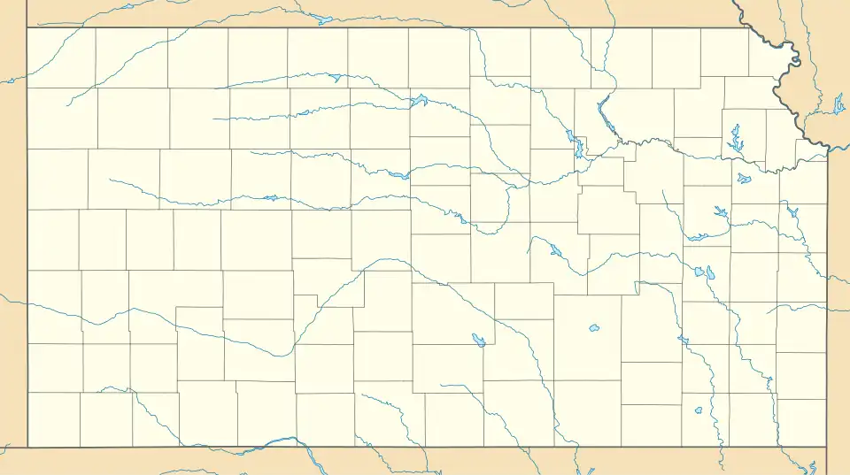
 KDOT map of Neosho County (legend) | |
 Kimball  Kimball | |
| Coordinates: 37°39′40″N 95°09′49″W / 37.66111°N 95.16361°W[1] | |
| Country | United States |
| State | Kansas |
| County | Neosho |
| Founded | 1880s |
| Platted | 1888 |
| Elevation | 1,043 ft (318 m) |
| Time zone | UTC-6 (CST) |
| • Summer (DST) | UTC-5 (CDT) |
| Area code | 620 |
| FIPS code | 20-36800 |
| GNIS ID | 474978[1] |
Kimball is an unincorporated community in Neosho County, Kansas, United States.[1] The community is located next to a railroad between the cities of Erie and Stark.
History
Kimball, originally spelled Kimbal, was platted in 1888.[2]
The first post office in Kimbal was established in May 1888. The name was officially changed to Kimball (with two Ls) in 1950, and the post office closed in 1956.[3]
The Missouri-Kansas-Texas Railroad passed through Kimball and a passenger depot previously existed in the community.
Transportation
The nearest intercity bus stop is located in Chanute. Service is provided by Jefferson Lines on a route from Minneapolis to Tulsa.[4]
References
- ^ a b c d U.S. Geological Survey Geographic Names Information System: Kimball, Kansas
- ^ Blackmar, Frank Wilson (1912). Kansas: A Cyclopedia of State History. Standard Publishing Company. pp. 71.
- ^ "Kansas Post Offices, 1828-1961 (archived)". Kansas Historical Society. Archived from the original on October 9, 2013. Retrieved June 20, 2014.
- ^ "Kansas Bus Stops". Retrieved July 28, 2025.
Further reading
External links
- Neosho County maps: Current, Historic Archived February 24, 2024, at the Wayback Machine, KDOT
Municipalities and communities of Neosho County, Kansas, United States | ||
|---|---|---|
| Cities |  | |
| CDPs | ||
| Unincorporated communities | ||
| Ghost towns | ||
| Civil townships | ||
| Footnotes | ‡This community also has portions in an adjacent county or counties. | |