Kilbride, County Down
Kilbride
| |
|---|---|
 Coastal inlet south of Corbet Head in Kilbride | |
 Kilbride Location within Northern Ireland 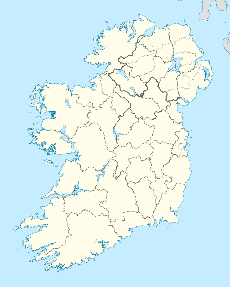 Kilbride Location within County Down 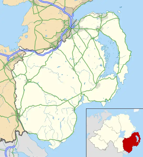 Kilbride Kilbride (County Down) | |
| Irish grid reference | J496438 |
| District |
|
| County |
|
| Country | Northern Ireland |
| Sovereign state | United Kingdom |
| Post town | DOWNPATRICK |
| Postcode district | BT30 |
| Dialling code | 028 |
| UK Parliament |
|
| NI Assembly |
|

(ruins of a windmill in the background)
Kilbride (Irish: Cill Bhríde, meaning '(Saint) Brigid’s church') is a townland located south of Downpatrick in County Down, Northern Ireland. It covers approximately 1.4 km2 (335.96 acres).[1] The townland lies within the civil parish of Bright and the historic barony of Lecale Upper.[2]
History
The townland is historically associated with the site of an early church. The church is recorded as Kilbride in Lethcathel in a charter dated 1168 (commonly referred to as the Dower Charter), and as Capella de Kilbride in the Papal Taxation of circa 1306 (Ecclesiastical Taxation, entry 34).[3] According to an Inquisition held in the third year of Edward VI and the Terrier of ecclesiastical property, the church of Kilbride, with an annual value of 53 shillings and 4 pence, was appropriated to the Priory of Regular Canons of Down. Under the charter of James I, it was annexed to the Deanery of Down under the name Kilbriditche.[3]
The church was located in a field known locally as "the Church Park," approximately three-quarters of a mile southwest of Killough. It was demolished in 1830, and no structural remains survive. However, an ancient tombstone bearing a carved cross was preserved and incorporated into a nearby stile. Writing in 1878, historian James O’Laverty noted that stone-lined graves had been discovered around the site, indicating the presence of a substantial cemetery, which had since been brought under cultivation.[4]
Aquaculture
Corbet Head in Kilbride has favourable conditions for seaweed farming, including clean, nutrient-rich waters suitable for growing Alaria esculenta, a brown seaweed used for food and other purposes. Research from the University of Galway indicates strong growth and hybrid vigour in seaweed from this area.[5][6]
Geography
Townlands that border Kilbride include: [1][7][8]
References
- ^ a b "Kilbride Townland, Co. Down". townlands.ie. Retrieved 28 February 2025.
- ^ "kilbride". IreAtlas Townlands Database. Retrieved 20 May 2015.
- ^ a b Reeves, William (1847). Ecclesiastical Antiquities of Down, Connor, and Dromore (PDF). Dublin: Hodges and Smith. p. 33.
- ^ O'Laverty, James (1880). An Historical Account of the Diocese of Down and Connor, Ancient and Modern. Dublin: M.H. Gill. Retrieved 4 March 2025. Retrieved from Internet Archive.
- ^ The edible brown seaweed Alaria esculenta (Phaeophyceae, Laminariales): hybridization, growth and genetic comparisons of six Irish populations. Kraan, S., Verges Tramullas, A., & Guiry, M. D. (2000). *Journal of Applied Phycology*, 12, 577–583. © 2000 Kluwer Academic Publishers. Accessed 9 July 2025.
- ^ Are North Atlantic Alaria esculenta and A. grandifolia (Alariaceae, Phaeophyceae) conspecific?. Kraan, S., Rueness, J., & Guiry, M. D. (2001). *European Journal of Phycology*, 36, 35–42. Printed in the United Kingdom. Accessed 9 July 2025.
- ^ "Down civil parishes (map of Bright townlands)". John Grenham. Retrieved 17 March 2025.
- ^ "PlacenamesNI.org - Kilbride, County Down (Northern Ireland Place-Name Project, Tionscadal Logainmneacha, Thuaisceart Eirann)". ArcGIS Experience. Retrieved 20 March 2025.