Kells Upper
Kells Upper
Ceanannas Uachtarach (Irish) | |
|---|---|
 Dunes on the coast at Mosney | |
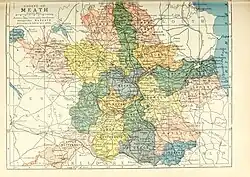 Barony map of County Meath, 1900; Kells Upper is in the west, coloured yellow. | |
 Kells Upper | |
| Coordinates: 53°43′N 6°53′W / 53.72°N 6.89°W | |
| Sovereign state | Ireland |
| Province | Leinster |
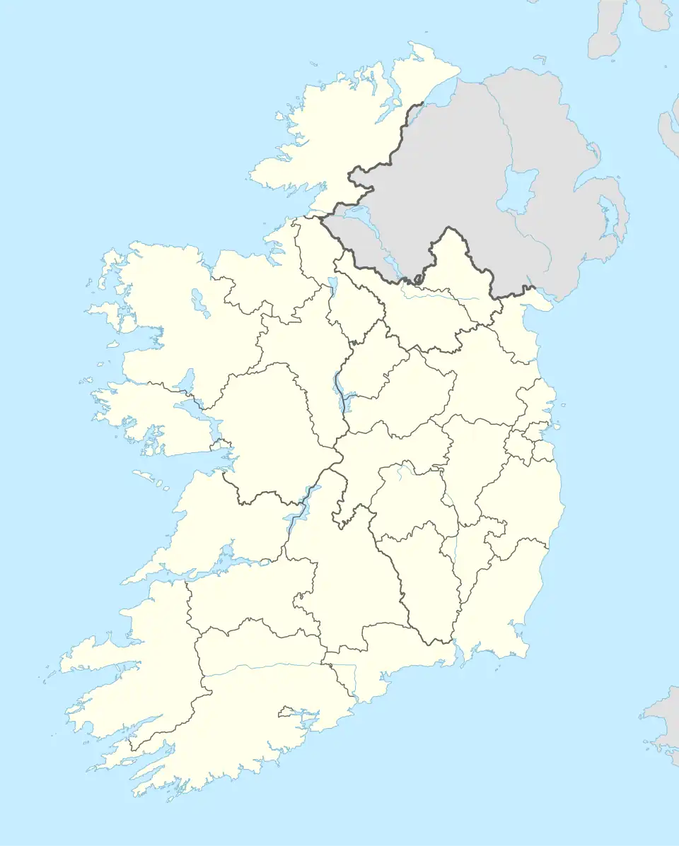
| County | Meath |
| Area | |
• Total | 200.5 km2 (77.4 sq mi) |
Kells Upper or Upper Kells (Irish: Ceanannas Uachtarach) is a historical barony in western County Meath, Ireland.
Baronies were mainly cadastral rather than administrative units. They acquired modest local taxation and spending functions in the 19th century before being superseded by the Local Government (Ireland) Act 1898.[1]
History
Prior to the Norman invasion of Ireland, the Kells Upper area was part of the territory of the Ciannachta. The barony of Kells existed before 1542 in the Lordship of Meath; it took its name from the town of Kells [2][3] Kells was divided into Lower (northern) and Upper (southern) halves by 1807.[4]
Geography
Kells Upper is in the east of the county, to the south of the River Boyne, and runs up to Meath's short coastline on Drogheda Bay.[5]
List of settlements
Settlements within the historical barony of Kells Upper include:[6]
References
- ^ General Register Office of Ireland (1904). "Alphabetical index to the baronies of Ireland". Census of Ireland 1901: General topographical index. Command papers. Vol. Cd. 2071. HMSO. pp. 966–978.
- ^ "The Baronies of Ireland - History". 17 July 2019. Archived from the original on 17 July 2019.
- ^ "Virtual Treasury". Virtual Treasury.
- ^ No. 205A: Accounts, presented to the House of Commons, of the Presentments passed by the Grand Juries of Ireland at the Spring and Summer Assizes, in the Year 1807. House of Commons papers 1808. London. May–July 1808. Retrieved 22 March 2010.
- ^ "Upper Kells". www.townlands.ie.
- ^ "Sub-units of: Damhliag Uachtarach/Kells Upper". logainm.ie.