Kayalıkale, Varto
Kayalıkale | |
|---|---|
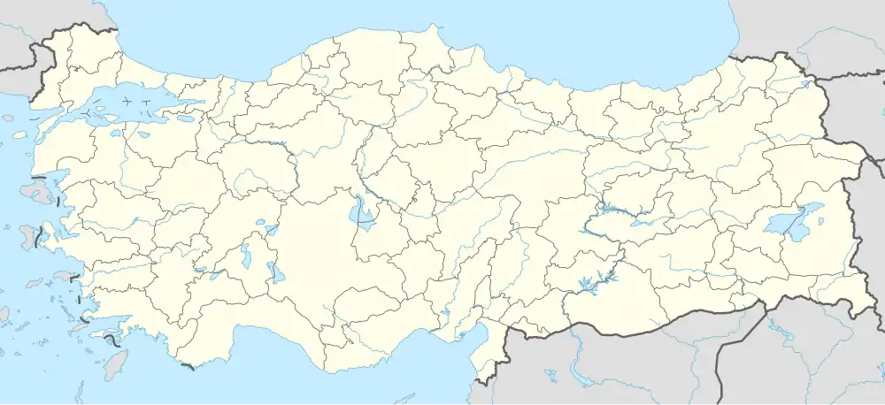 Kayalıkale Location in Turkey | |
| Coordinates: 39°04′26″N 41°35′59″E / 39.0738°N 41.59986°E | |
| Country | Turkey |
| Province | Muş |
| District | Varto |
| Population (2022)[1] | 314 |
| Time zone | UTC+3 (TRT) |
Kayalıkale (Armenian: Խանզուրիկ Վերին, romanized: Khnzori Verin) is a village in the Varto District of the Muş Province in east Turkey.[2] Its population is 314 (2022).[1]
History
The Kurdish name of the village is Kurdish: خنزۆرا ژۆر, romanized: Xinzora Jor.[3] The Armenian and Kurdish names derive from Armenian: խնձոր, romanized: khndzor, lit. 'apple', a Hurrian loanword likley itself borrowed from Dagestani.[4][5]
Geology and geography
Kayalıkale and the plateau used for animal husbandry are located on the Akdoğan Mountains.[6]
Education
There is a secondary school in the village.[7]
References
- ^ a b "Address-based population registration system (ADNKS) results dated 31 December 2022, Favorite Reports" (XLS). TÜİK. Retrieved 19 September 2023.
- ^ Mahalle Archived 2023-03-06 at the Wayback Machine, Turkey Civil Administration Departments Inventory. Retrieved 19 September 2023.
- ^ "Varto in the middle of the 17th century" (PDF). Muş Alparslan University. April 5, 2020. p. 7.
- ^ Nielsen, Rasmus Thorsø (2023-11-07). Prehistoric loanwords in Armenian: Hurro-Urartian, Kartvelian, and the unclassified substrate. Leiden. p. 13.
{{cite book}}: CS1 maint: location missing publisher (link) - ^ "Armenian to English" (PDF). California Nursing Students’ Association. April 18, 2024.
- ^ "Muş ili'nde yaylaların dağılışı" (in Turkish). Turkish Studies-International Balkan University. March 2019. p. 23.
- ^ "Muş Varto Kayalıkale İlkokulu". vartokayalikale.meb.k12.tr (in Turkish). Retrieved 2023-12-08.
| Municipalities | |
|---|---|
| Villages |
|